Definitely a spring week
COLUMBUS, Mississippi (WCBI) – Enjoy the nicer conditions of this week while they last, unsettled weather is ramping up to move back into NE Mississippi. Storm chance is possible beginning as soon as Thursday.
TUESDAY NIGHT: A mostly clear to partly cloudy night, as a few clouds move through. Temperatures fall into the upper 40s and lower 50s. Cool but still warmer than the past couple of nights.
WEDNESDAY: Cloud coverage will continue to build in from the West and SW, becoming partly to mostly cloudy by the afternoon/evening. High temperatures are going to feel great, pushing back into the upper 70s. Overnight low temperatures will be a bit more mild too, only falling into the upper 50s.
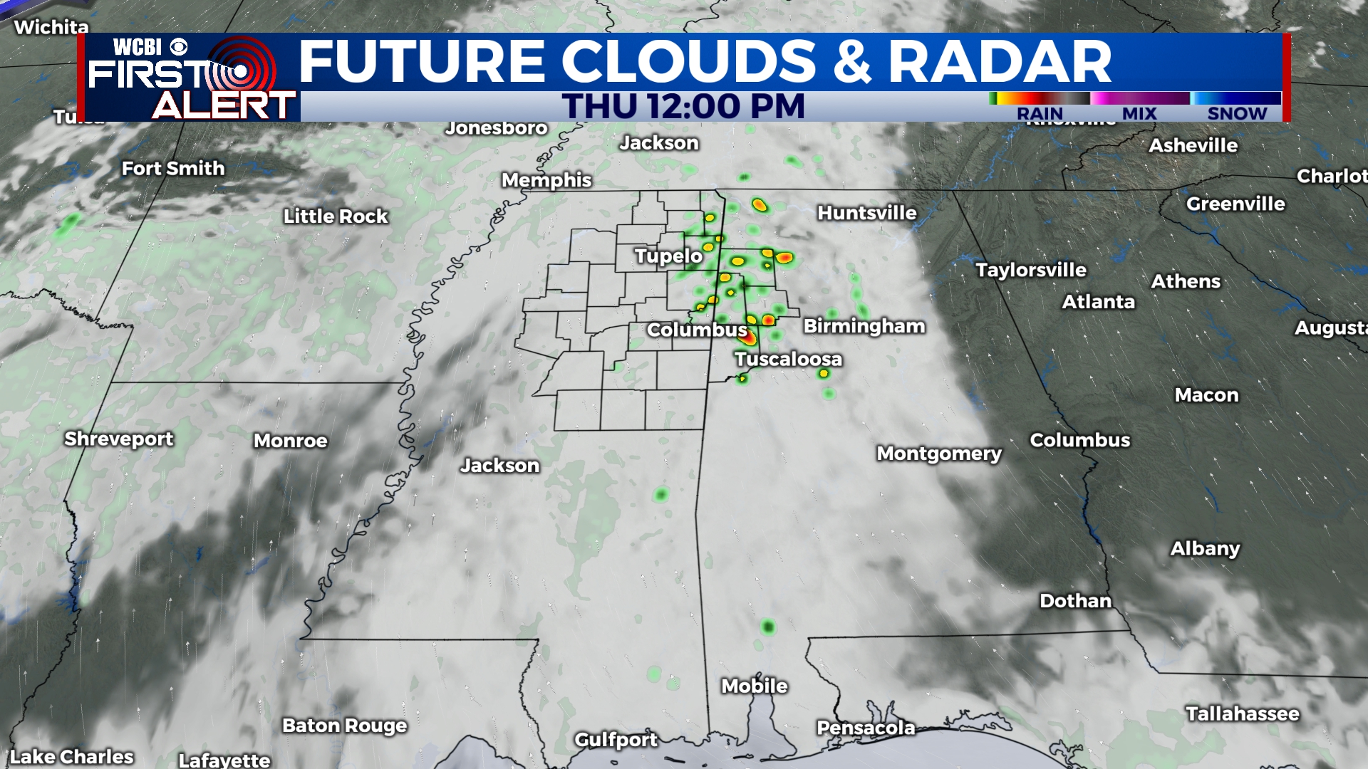
THURSDAY: Another warm, almost hot, day. Temperatures make their way into the upper 70s, potentially some lower 80s! As the moisture increases from the Gulf, the amount of clouds in the sky will increase too. Rain chance will be light most of the day. However, an increase in storm energy could allow for few storms to bubble up in the heating of the day. The Storm Prediction Center has our western and NW counties in a Level 1 – Marginal Risk for severe weather. Very mild temperatures going into Friday morning though, with low temps in the middle 60s.


