Drier air this week, watching the tropics
SUMMARY: Another very hot and humid day in store, with high feels like temps. Starting tonight, drier air begins to filter in, leaving us with much more comfortable conditions through Thursday. Lows will be very nice, and the lower humidity will make the days much more tolerable. Moisture return begins on Friday, and all eyes turn to the gulf, as we could see a tropical system that could bring us some heavy rain. Models aren’t too crazy with intensity, but all tropical systems have the threat of spin up tornadoes and flooding, and with very saturated grounds and high rivers we will be keeping a close eye on it.
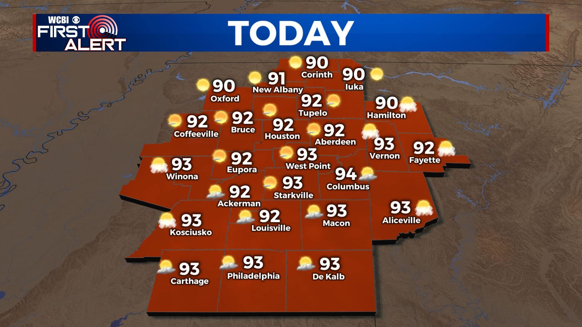
TODAY: One last extremely hot and humid day in store for us, highs in the low to mid 90s under partly cloudy skies. The humidity will once again push feels like temps into the 100-105 range, so take it easy this afternoon. A stray storm is possible this afternoon, especially over southern areas.
TONIGHT: Any clouds or showers/storms will quickly dissipate after the sun sets. Skies will be clear, dropping into the upper 60s across the area. Drier air will also begin moving into the region overnight.
TUESDAY: A slightly cooler day in store for Tuesday, highs around 90 under partly cloudy skies. Feels like temps will be much more tolerable, as dry air continues to filter in. Rain chances nonexistent.
TUESDAY NIGHT: A refreshing and comfortable night for mid-June! Lows in the low 60s across the area under clear skies. With lower humidity, we will wake up on Wednesday feeling great outside, especially after the past few humid days.
WEDNESDAY: Mostly sunny skies for Wednesday, and with the drier air it won’t be too bad out there! Highs in the upper 80s to near 90.
THURSDAY TO SUNDAY: Thursday looks to be pretty nice. Highs in the upper 80s, mostly sunny skies and lower humidity continuing. By Friday, moisture begins to move back into the region and we warm back into the low 90s. Rain and storm chances rise by Saturday, with cooler temps in the upper 80s. Even higher rain chances Sunday, and we’ll be watching the gulf, as the models are insisting on a tropical system making landfall on the northern gulf late weekend or early next week. We will be watching, as we could see a flood/tornado threat depending on track. We’ll definitely have more details later on in the week.


Leave a Reply