Drier weekend with rain again next week
COLUMBUS, Mississippi (WCBI) – Rain, then dry, then more rain, and then dry and cool! Pushing towards Thanksgiving.
FRIDAY NIGHT: Scattered showers and a few rumbles of thunder will continue with the passing of a cold front overnight and into early morning Saturday. There will be a continued threat of patchy fog overnight as well. Temperatures will be in the upper 50s to lower 60s.
SATURDAY: A few lingering showers may be possible, but the front is expected to push to the SE. This will help dry up the rain chance and slowly start clearing out some clouds by the afternoon. High temperatures will be like they have been the past few days, within the 70s. Overnight lows will drop into the lower 50s.

SUNDAY: There will be a regional High Pressure system to our North. This will keep conditions clear and calm for the end of the weekend. Temperatures will be slightly cooler, in the upper 60s to lower 70s thanks to cooler air coming in from the North. Enjoy the sun! Overnight lows will be cooler, in the middle 40s.
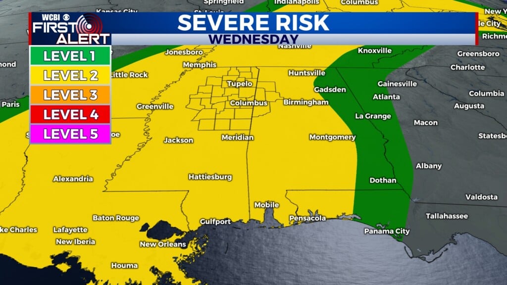
NEXT WEEK: The week will start with heavy cloud coverage and another increased chance for showers and storms, going into Wednesday morning. Temperatures will start in the 70s before dropping into the 50s for Thanksgiving.