Drying Out Sunday and Monday, Next Storm Chances Midweek
SUMMARY: Rain stays out of the forecast this afternoon through Monday. Next chance for some showers and thunderstorms lingers Tuesday afternoon into Wednesday.
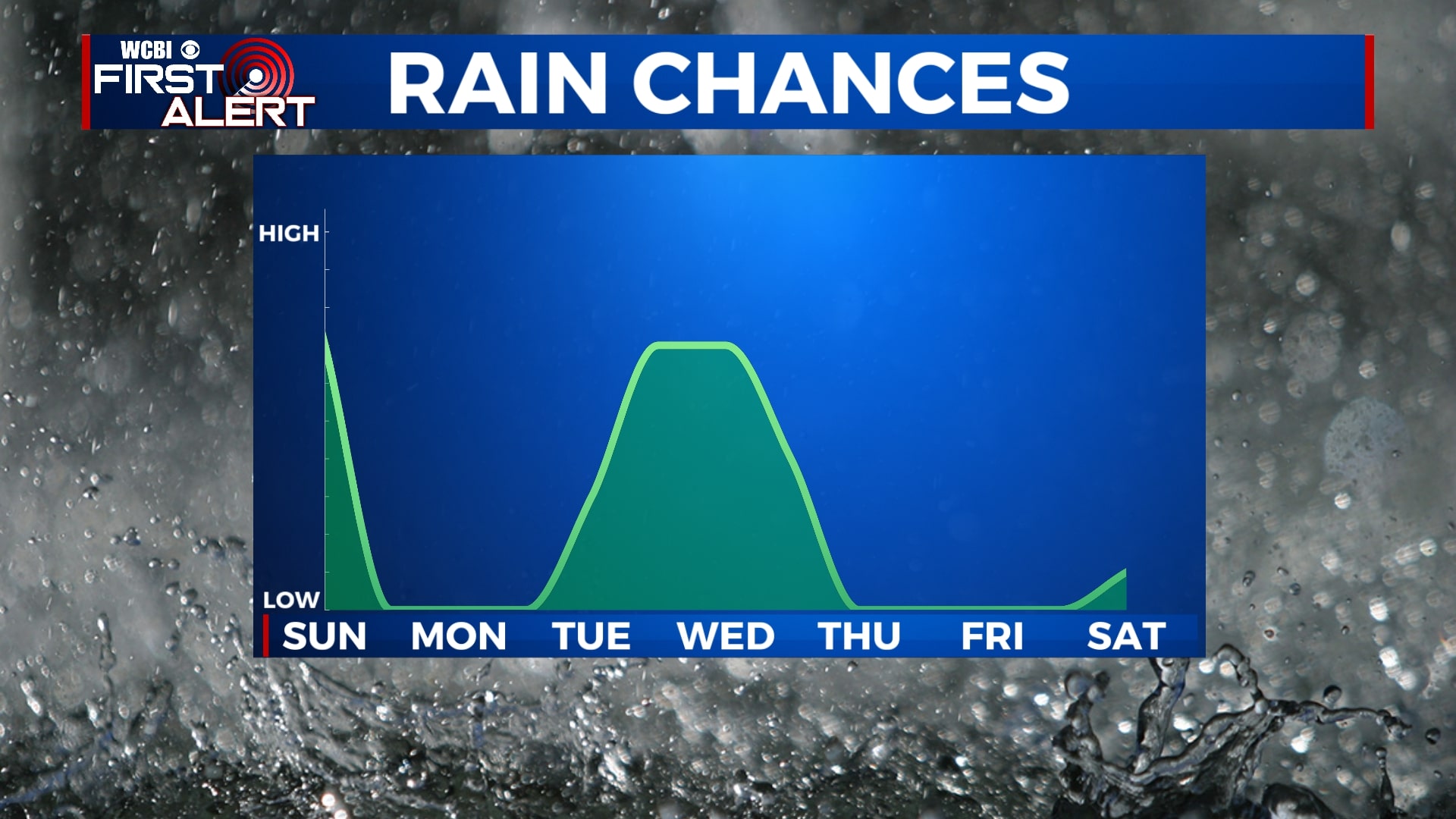
SUNDAY: Cloudy skies through mid-morning but sunshine returns for the afternoon. A bit breezy with winds out of the northwest between 10 – 15 MPH, gusting to 20 MPH. We stay warm with highs in the upper 60s.
SUNDAY NIGHT: Partly cloudy and a much cooler night. Low temperatures will drop into the upper 30s.
MONDAY: A picture perfect day with clear skies. Highs will reach the upper 60s and lows in the mid 40s.
TUESDAY: Considerable cloudiness for most of the day. An afternoon thunderstorm in spots. Rain and storms expected late afternoon and evening. Highs will reach the lower 70s and lows will dip into the mid 50s.
WEDNESDAY: Showers and a possible thunderstorm with highs in the low 70s. Partly cloudy skies overnight with lows in the upper 30s.
THURSDAY – SUNDAY: Temperatures will remain cool for the end of the week and weekend with a mix of sun and clouds.


Leave a Reply