End of the week sun, more rain ahead
COLUMBUS, Mississippi (WCBI)- Ending our week on a bright note, there will be plenty of sun to go around on Friday. Rain returns Saturday evening and there will be a chance of seeing some rain over the next week.
THURSDAY NIGHT: Mostly clear sky conditions will be leading towards cold temperatures tonight, as there will not be any cloud coverage to hold in the warmth from the day. Low temperatures tonight will drop into the upper 20s. Expect to see widespread frost in the morning on the ground and potentially on vehicles. Probably best to give yourself a little bit of extra time in the morning to defrost.
FRIDAY: The last day of the week is going to be one filled with a clear and sunny sky. High temperatures will be in the middle 50s. Overall, Friday is going to be a very mild day. Not too hot, not too cold. Temperatures Friday night/Saturday morning will be in the lower 30s.
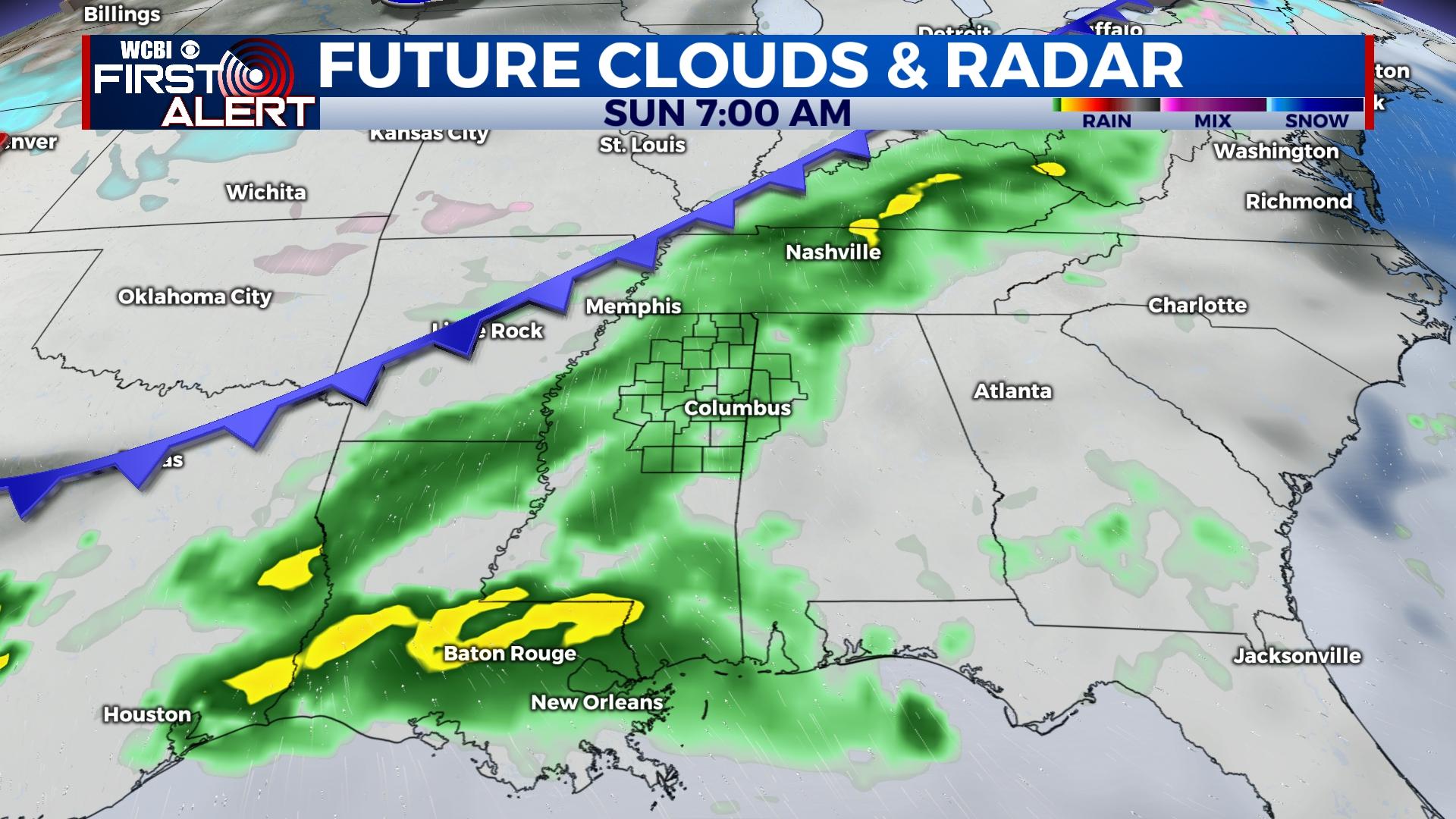
WEEKEND: High temperatures will be in the middle to upper 50s both days of the weekend. The first half of Saturday will be nicer than the evening. Cloud coverage will be filling in ahead of the overnight rain chance. Rain will continue to fall throughout the day Sunday, with heavy cloud coverage maintaining. Overnight temperatures for the weekend will be in the middle 40s.
NEXT WEEK: A rain chance will continue into next week, as another system is expected beginning Monday night. The rain will maintain throughout most of the week, with a stationary front lying across NE Mississippi. High temperatures are going to be gradually falling throughout the week, beginning in the middle 50s and dropping towards the upper 40s by Thursday. Low temperatures will have less of a range, between the upper 30s and middle 40s.


