First week of Spring yields warmer weather and chance for severe storms
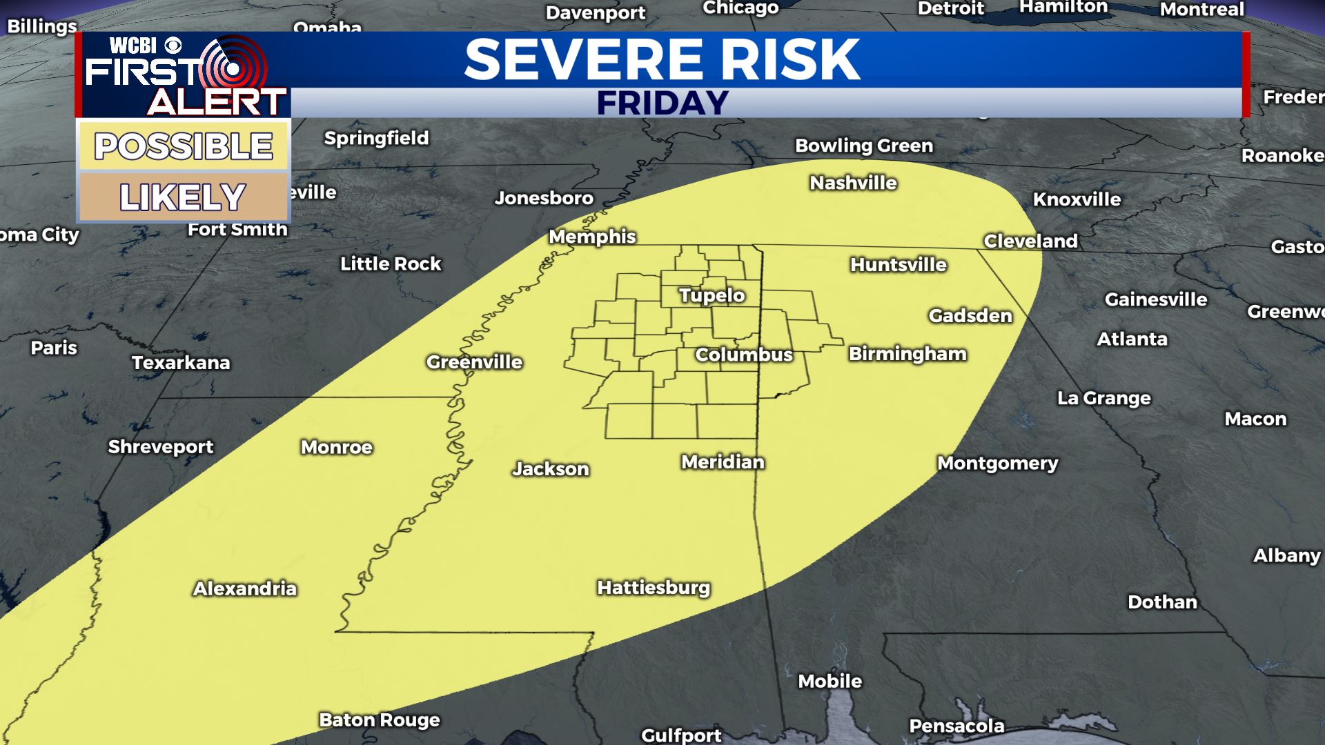
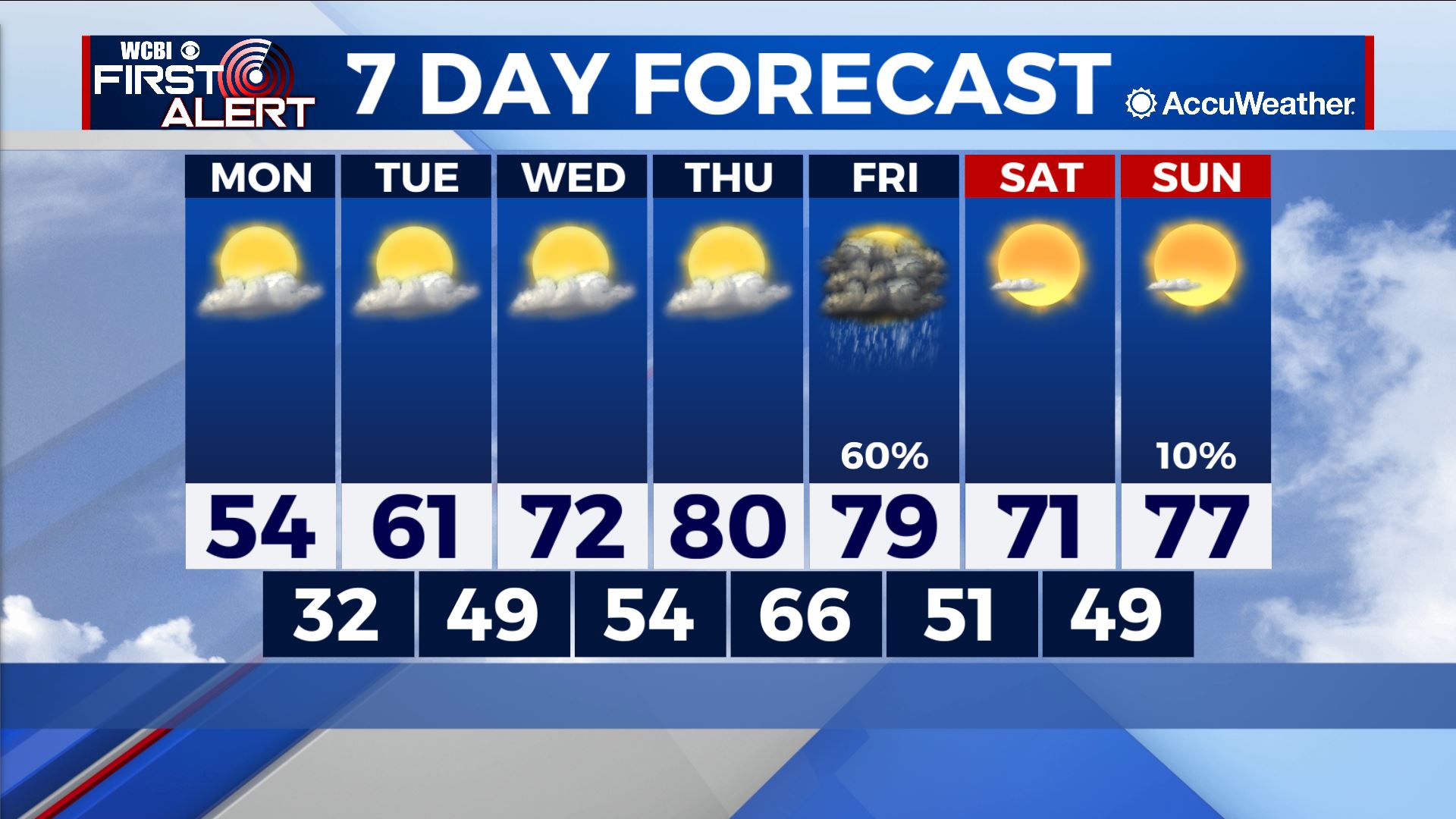
COLUMBUS – SUMMARY: Afternoon temperatures climb into the low 80s by later next week amid higher pressure visiting the Southeast. A lone rain chance Friday will dampen the soil and bring potential for some severe weather along the way.
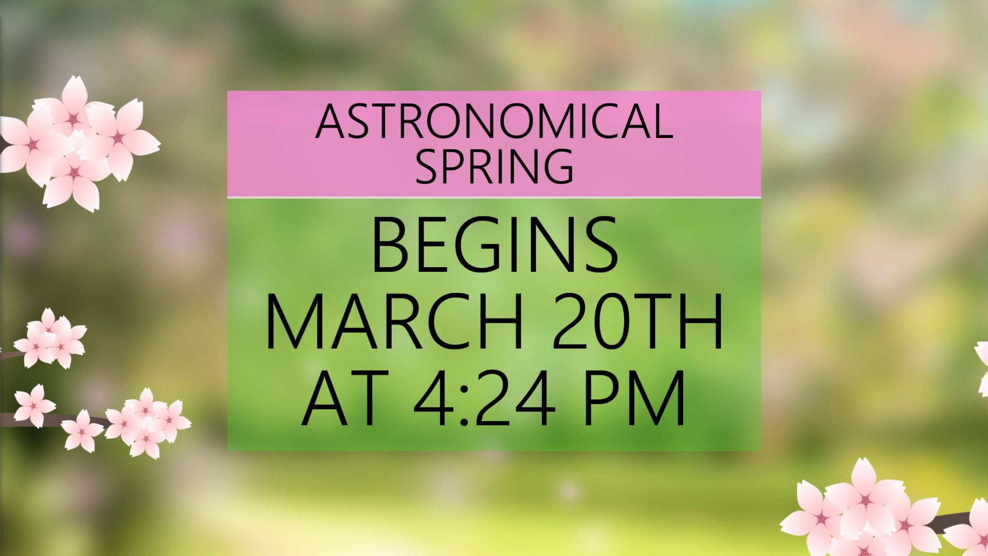
MONDAY: A steady climb in our highs begins Monday, the first day of Astronomical Spring, as the mark tops out in the mid 50s Monday afternoon. Lows reach freezing for perhaps the last time in a while overnight. No rain is expected Monday as plentiful sunshine abounds.
TUESDAY: Afternoon peaks continue to climb Tuesday, this time hitting the low 60s in the afternoon. Some more clouds are expected Tuesday, but no rain is expected. Lows warm slightly into the upper 40s overnight Tuesday.
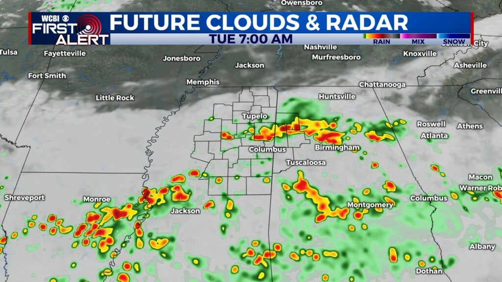
REST OF THE WEEK: Highs will continue to climb into the middle part of the week, reaching around 80 by this coming Thursday. A cold front Friday will knock afternoon temperatures into the low 70s in addition to bringing a potential severe weather threat to the region. At this point, details on exact impacts and timing are uncertain, although all hazard types including tornadoes, strong winds, hail, and flooding are on the table at this point. We will continue to update you on the situation as it evolves.