Flood watches issued as storms pile on the rain
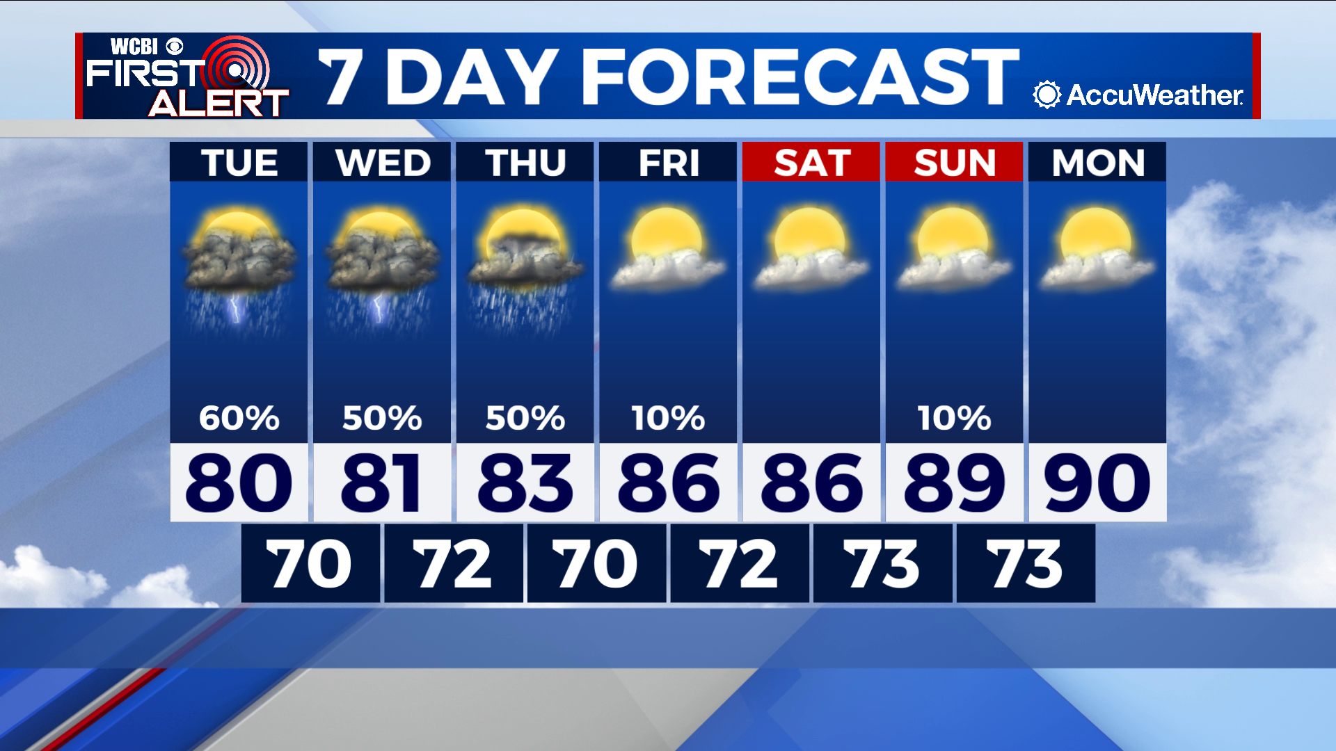
COLUMBUS – SUMMARY: Showers and storms will continue to drench the region for the next few days. Highs stay in the low 80s during this time, while drying conditions starting Friday allow for afternoon temperatures to warm back into the 90s.
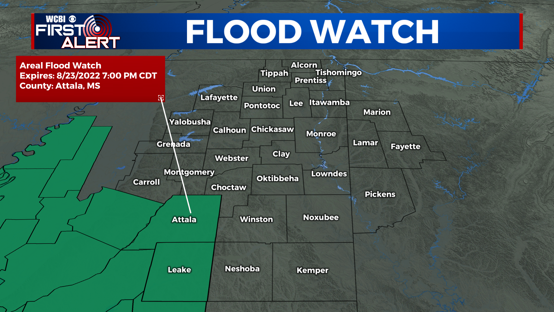
TUESDAY: Storms concentrate mostly in the southern half of our viewing area as the potential for flooding increases Tuesday. Saturation of the ground from Monday’s rain event means that the potential for localized flash flooding is greater for areas that receive more than a few inches of rain. Highs top out around 80 during the day while overnight lows bottom out around 70.
WEDNESDAY: Yet more chances for rain Wednesday help pile on the rain totals to an already soaked viewing area. Once again we are treated with highs in the low 80s while the overnight low sits in the low 70s.
REST OF THE WEEK: An additional rain chance Thursday eventually makes way for some clearing and drying condition heading into Friday. The change of pace will affect temperatures significantly, as highs are able to climb into the 90s by Monday. Lows remain stable in the low 70s throughout the rest of the week and into next week.