Grab the Rain Jacket on Tuesday
Showers will move into the area overnight tonight and persist through the day on Tuesday. A passing cold front will keep us drier and cooler for the middle of the week before temperatures increase for the weekend.
MONDAY NIGHT: Showers developing after 10pm as a front slowly moves northward into the area. Chances for rain will increase as we get into the early morning hours of Tuesday. Lows will be in the low 60s with a light southeasterly wind.
TUESDAY: Rain will become more persistent and many of us will be seeing a steady rainfall by sunrise. Give yourself a few extra minutes for your morning commute and make sure you have an umbrella ready to go. Chances for heavier rain are greater to the south, and areas along and south of Highway 82 could pick up 1-2″ of rain. Areas to the north (Tupelo, Pontotoc, Calhoun City) will not see as much rain, but showers are still likely. Rain will start to taper off by sunset. Temperatures will stay in the upper 60s to near 70 through the afternoon.
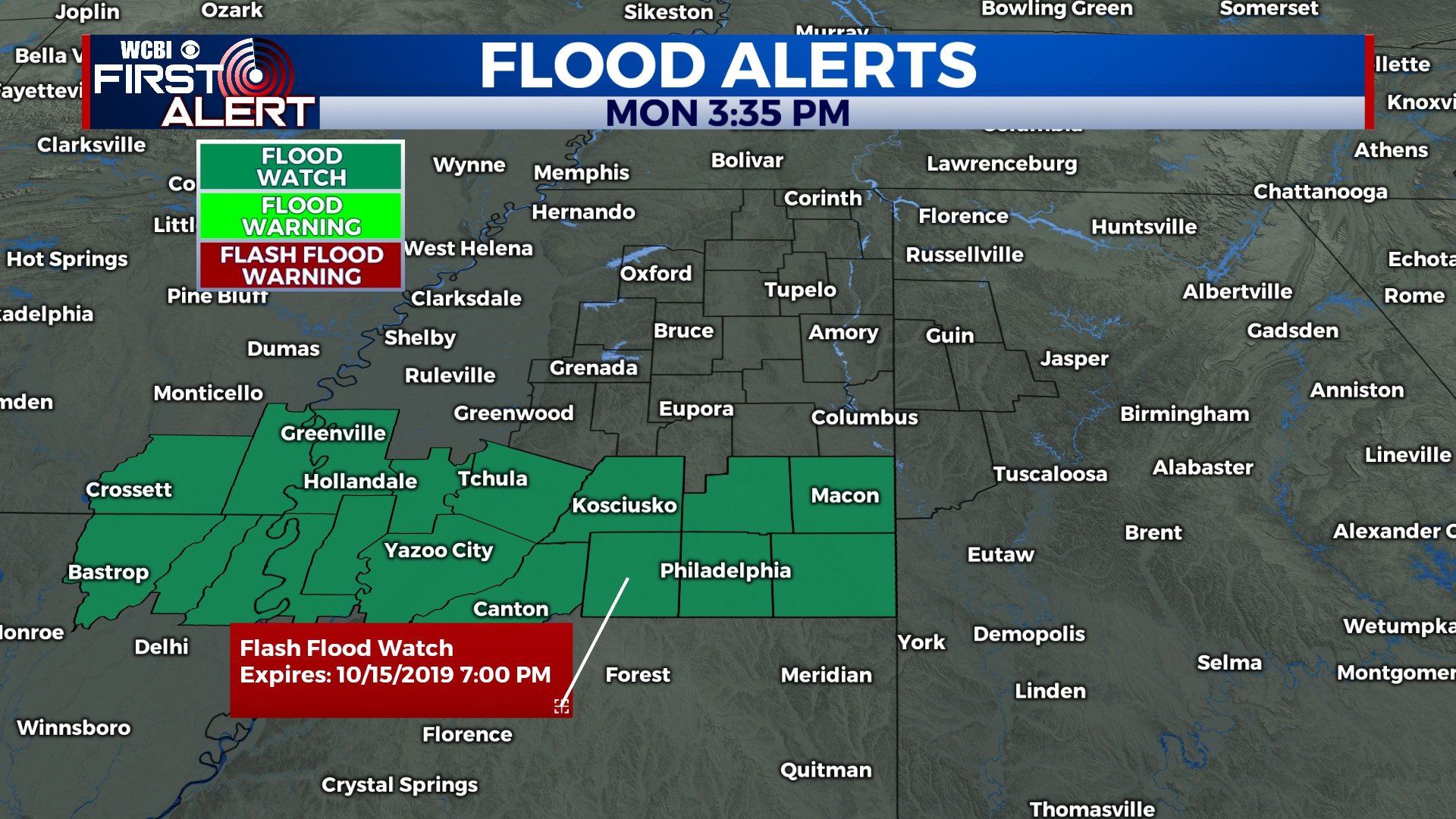
A Flash Flood Watch is in effect for portions of the area, where 1-2″ of rain could fall.
WEDNESDAY-FRIDAY: Rain chances decrease and sunshine returns as cooler air returns to the area. Highs will be in the mid to upper 60s for Wednesday and Thursday before returning to the 70s for Friday. Great weather for high school football!
SATURDAY-SUNDAY: Chances for a few scattered showers return for Saturday and Sunday. The weekend won’t be a washout, but some rain is possible. We’ll keep it at a 30%-40% chance for now. Highs will be closer to 80.
EARLY NEXT WEEK: We’ll have to keep our eyes on the next cold front that will approach the area on Monday and Tuesday. This front will increase our rain chances for Monday before cooler and drier air returns.


Leave a Reply