Heat Advisory is in effect for Tuesday
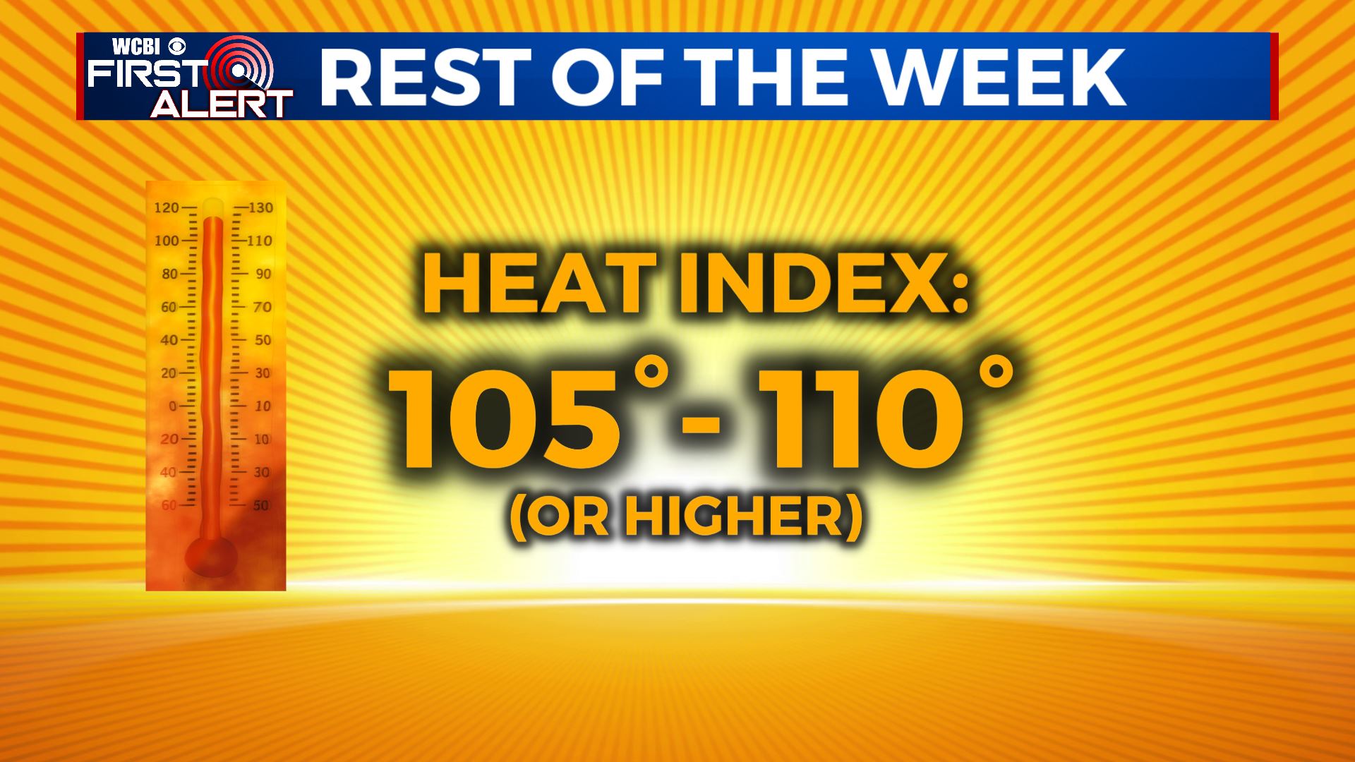
SUMMARY: A Heat Advisory is in effect for our Tuesday as another hot & humid summer day is in effect for us. Take the proper precautions to stay cool & hydrated to help prevent heat stress or heat exhaustion issues! The summer heat and humidity will be the main weather story going forward. Look for heat indices to be up to 110 or over the rest of the week with just a few spotty storms providing natural relief from the heat.
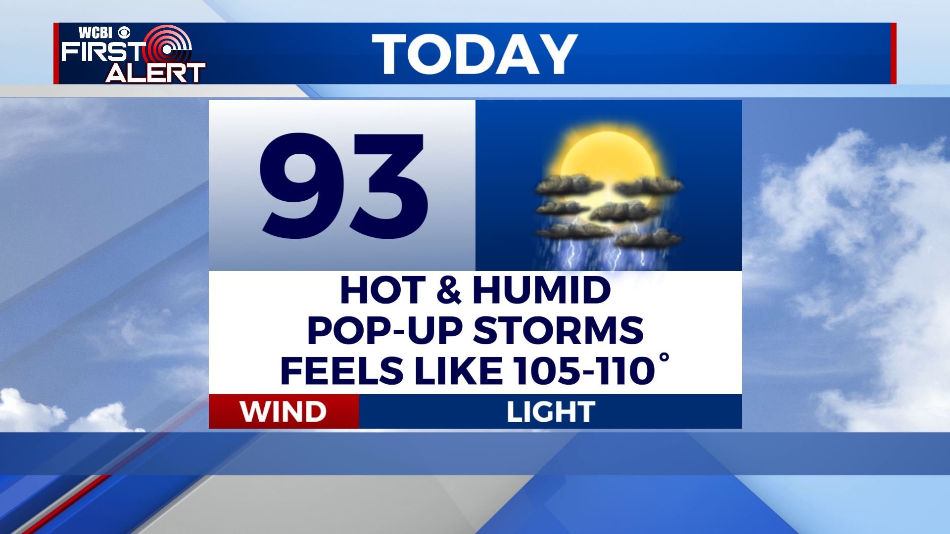
TUESDAY: Scattered showers and storms are likely during the afternoon with a mix of sun & clouds. High temperatures in the lower 90s. Hot & humid with heat index values making it feel like 105-110 degrees.
TUESDAY NIGHT: Showers and storms once again dissipate early evening, making way for partly cloudy skies overnight. Muggy & mild lows in the mid 70s.
WEDNESDAY: Mix of sun & clouds, hot, and humid. Highs in the mid 90s. Heat indices up to 110. A chance of pop-up showers and storms. Overnight lows in the mid 70s.
THURSDAY & FRIDAY: Continued hot and humid. Highs in the mid 90s with heat indices near 110 during peak heating. While a few isolated storms are possible no widespread activity is likely. Overnight lows stay in the mid 70s.
WEEKEND: Storms will become more likely as a weak front enters the region from the north. At least there is higher potential for some natural relief from the heat. Highs stay in the 90s with overnight lows in the 70s.
Stay connected with @WCBIWEATHER on Facebook, Twitter, Instagram and the WCBI News App


Leave a Reply