Hello cooler conditions
COLUMBUS, Mississippi (WCBI)- Monday began the cooling trend for this week. Now as the week continues, temperatures will fall into the 70s with mostly clear sky conditions for the majority of the week.
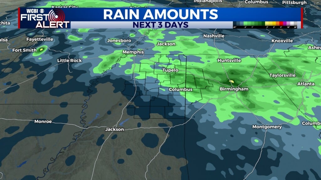
TUESDAY: Today is the first day that temperatures are expecting to fall into the upper 70s. There is a zero percent chance for any rain showers and a 100% chance for a sunny sky.
TUESDAY NIGHT: Clear conditions continue into the overnight hours. The overnight low temperatures are going to fall into the upper 40s/lower 50s.
WEDNESDAY: The middle of the week will be the coolest day this week. Temperatures reaching the middle 70s. Clear and sunny sky conditions will continue. Overnight low temperatures will drop into the upper 40s!
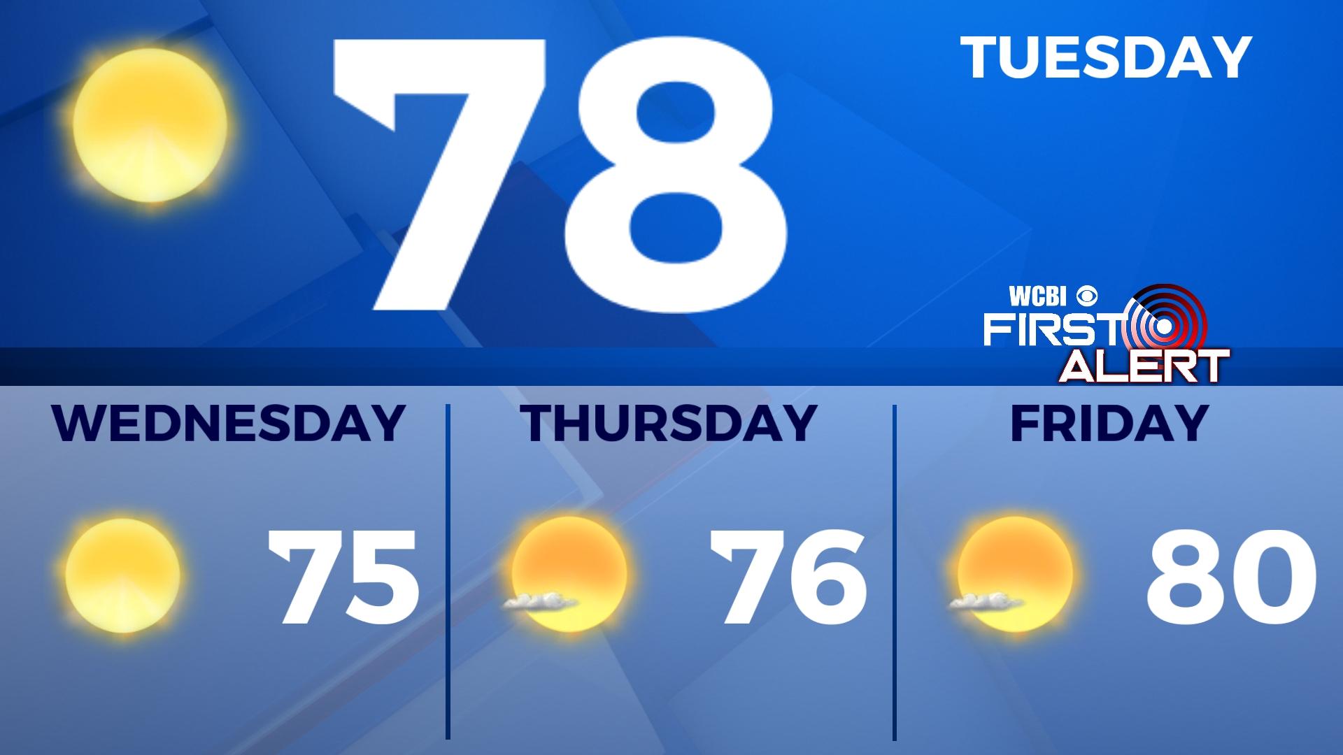
END OF THE WEEK: Temperatures start to gradually warm up into the upper 70s and lower 80s again. Overnight low temperatures will head back into the mid and upper 50s, still cool but a little bit warmer with some added light cloud coverage.
TROPICS: Yesterday morning, the system in the Caribbean Sea made the transition from Tropical Storm Ian to Hurricane Ian at a Category 1. Yesterday, sustained wind speeds increased, pushing Hurricane into the Category 2 status. This morning, its status is up to a Category 3 hurricane with sustained wind speeds at approximately 125 MPH. Evacuations have begun taking place in Florida. Hurricane Ian is expected to stay a major hurricane status within the next 24 hours, as it approaches the Florida gulf coast.