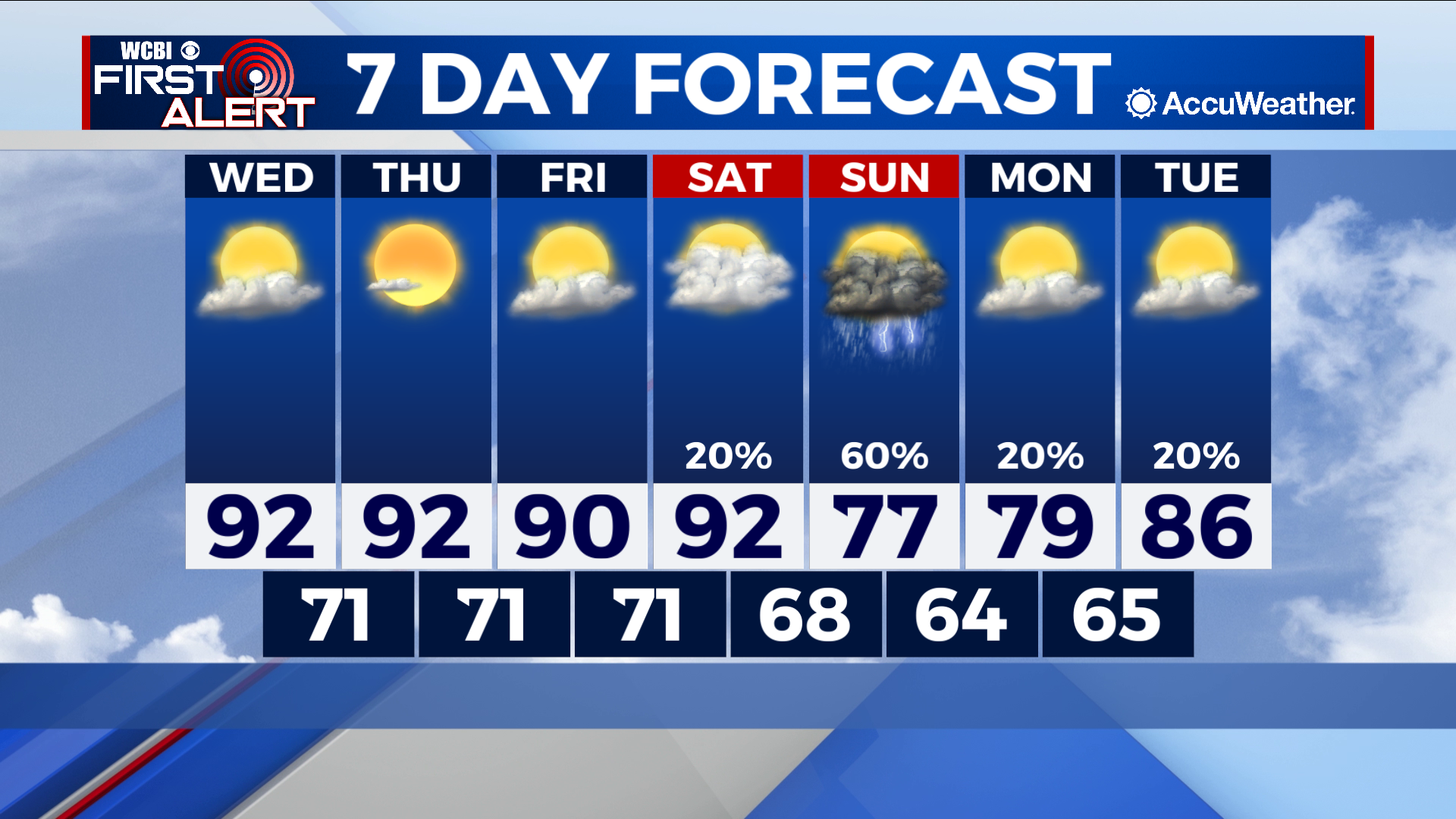
Messy end to warm week
COLUMBUS – SUMMARY: Highs will hit numbers far above average for this time of year before a weekend system provides some relief. Highs in the 90s through Saturday will be replaced by afternoon temperatures in the upper 70s starting Sunday.
WEDNESDAY: Wednesday marks the arrival of major heat to the region, with afternoon highs in the low 90s. Sunshine resulting from partly cloudy skies contributes somewhat to this trend. Lows reach into the low 70s overnight. No major rain events are expected Wednesday.
THURSDAY: Thursday may in fact be an identical day to Wednesday, with afternoon highs in the low 90s. Some clearing of the skies is expected Thursday which may locally exacerbate temperatures. Overnight lows reach once again into the low 70s. No major rain chances are expected.
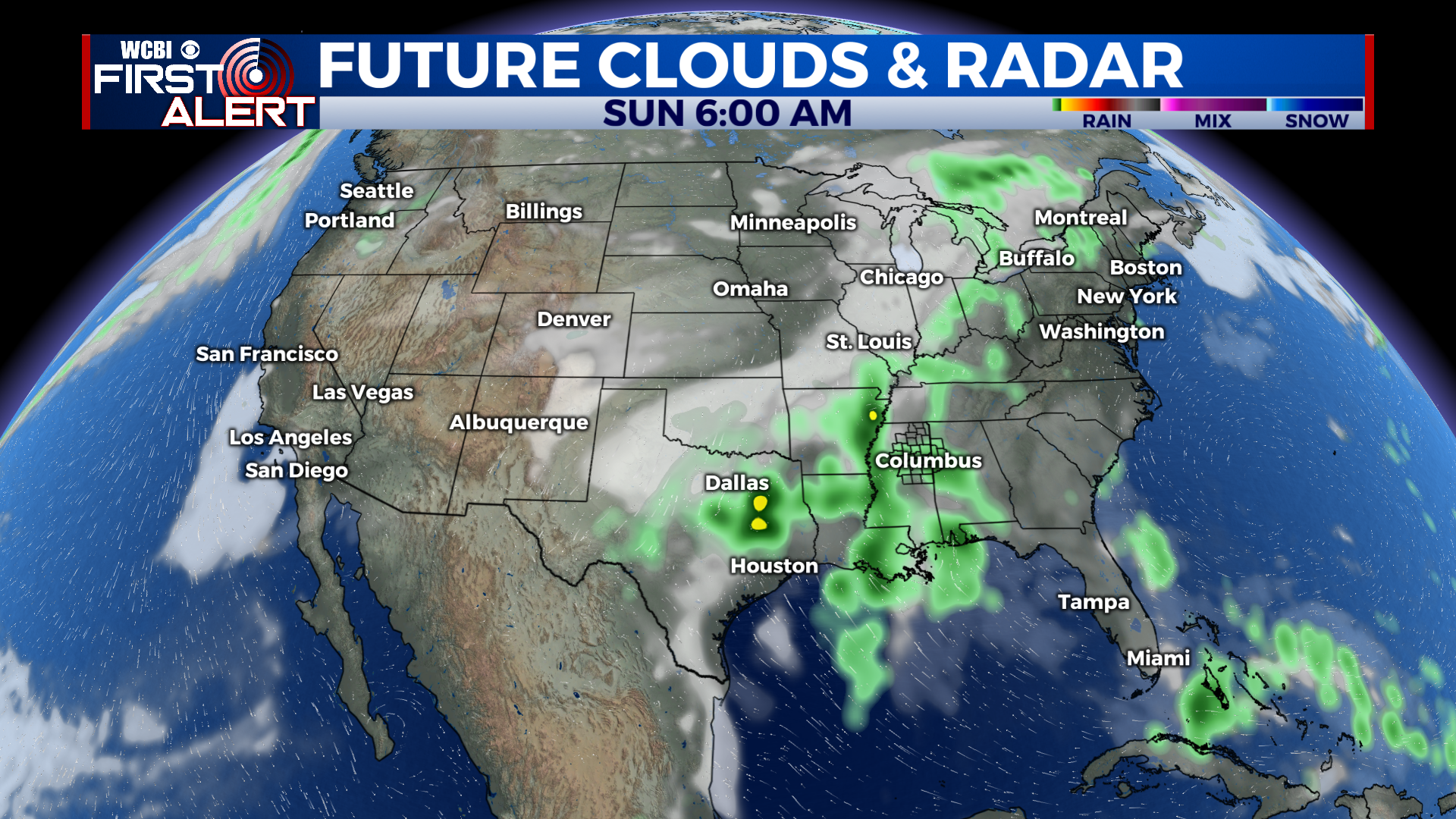
REST OF THE WEEK: The biggest changes this week will be brought by a weekend system of showers and thunderstorms. In addition to the healthy rain totals brought along, highs will drop dramatically down into the upper 70s by Sunday, while lows will take a hit into the mid to upper-60s. Temperatures will gradually increase thereafter but at least for Sunday and Monday some cooler temperatures are on the way. Rain chances mainly concentrate on Sunday but the odd shower or thunderstorm cannot be ruled out through the weekend and into the early part of next week.