Mild end to the week
COLUMBUS, Mississippi (WCBI) – After a relatively cooler day with rain Wednesday, milder air is in store to close out the work week.
THURSDAY: Save for an isolated shower during the morning hours, the day should be dry and variably cloudy. Daytime highs will once again range from the 60s south to low 70s north, keeping the trend of the week!
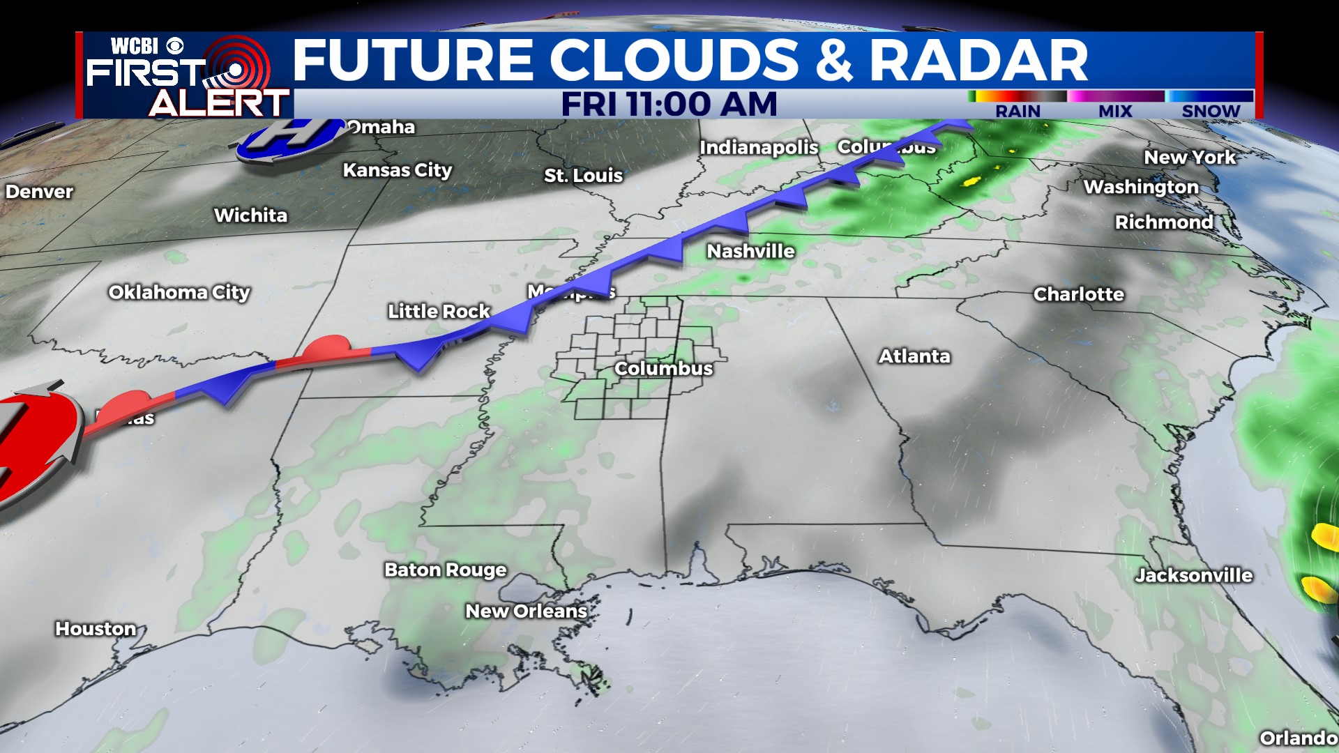
FRIDAY: Ahead of another front, isolated showers are possible during the day. If rain is able to form, it should be relatively modest in intensity, and no meaningful accumulation is expected. Highs will stay in the upper 60s.
WEEKEND: Finally some appreciable clearing is expected! We should see lots of sun both days with highs in the upper 60s. Frost is expected Sunday morning with temperatures dropping into the middle 30s.
NEXT WEEK: A stronger system is set to move through during the Monday/Tuesday time frame. The latest computer model data indicates a better potential for thunderstorms, especially Monday evening. We’ll watch trends over the next couple days to see if any severe weather potential arises, so stay tuned. It’s looking cold and dry for Wednesday and Thanksgiving Day!