More unseasonably warm air returns
COLUMBUS, Mississippi (WCBI) – Days and nights trend warmer yet again through the end of the week. Rain becomes likely by the weekend.
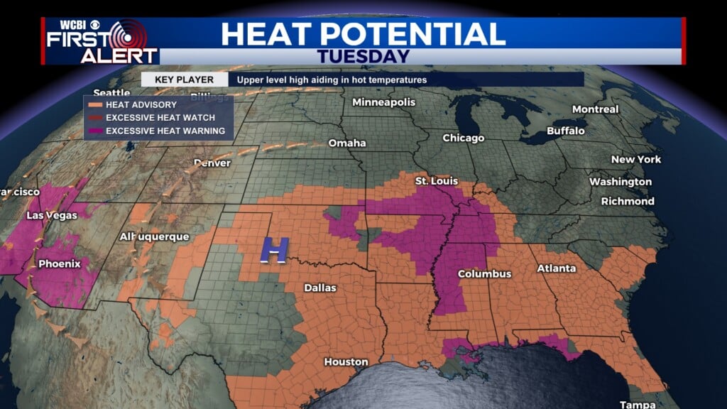
TUESDAY: Expect a mix of sun and clouds across the area today with highs in the middle 60s. A shower or two is possible across far northwest parts of the state, but most of northeast MS and west AL will stay dry.
WEDNESDAY: Variably cloudy and warmer with highs nearing 70 degrees.
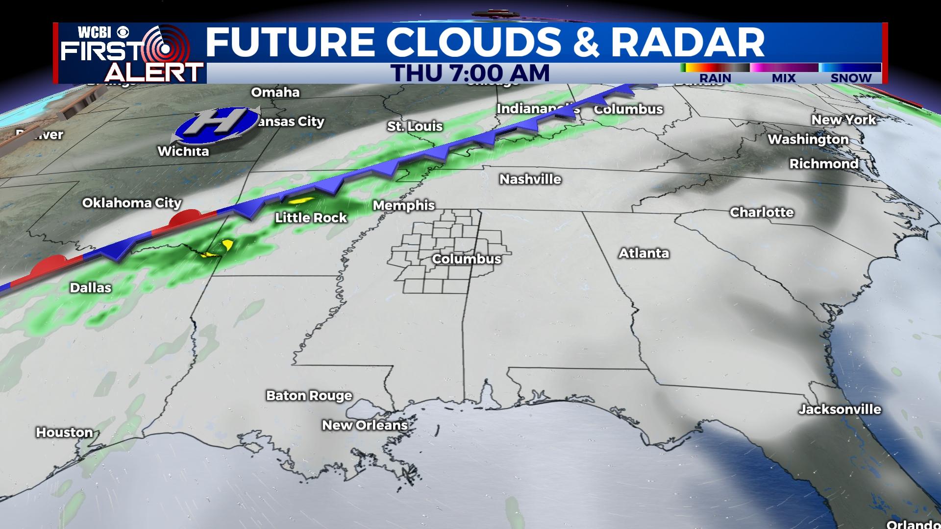
THURSDAY: A dynamic storm system to the northwest will try and push a cold front toward the region during the day. A few showers are possible across the northern and western parts of the region, but the best chance of rain or storms will remain closer to the front along the MS river.
FRIDAY: That front should retreat northward as a warm front, pulling even warmer air into the region. Expect highs to reach the middle 70s under a mostly cloudy sky.
WEEKEND: Several changes to the forecast, one of which is increasing rain chances Saturday. A stronger front should push into the region during the day and bring a good chance for rain and embedded thunder. Behind the front, much cooler air rushes in for Sunday with highs struggling to get to 50 degrees. There’s also another good opportunity for rain later in the day Sunday as an unsettled pattern continues.