Mostly sunny and breezy Thursday, weekend frost threat
COLUMBUS, Mississippi (WCBI) – Yesterday’s heat and storms are out, and cooler weather is in store for the next few days.
THURSDAY: Expect plenty of sun for most of the day with highs in the mid to upper 60s. A noticeable breeze will kick up most of the day as well, gusting up to 25 mph or higher at times. Clouds temporarily increase toward sunset, and an isolated quick-hitting shower is possible in this time frame. Otherwise, clouds clear late in the evening ahead of a cooler night.
FRIDAY: Clouds thicken up again during the day and likely hold highs in the 50s. There’s another small chance for a brief shower, but the main story will be the cool, breezy weather across the region.
WEEKEND: Saturday morning continues to bring a risk of frost to much of the region. There’s still a threat for brief freezing conditions in the normally colder spots as well. Sunday morning stays chilly in the mid to upper 30s with isolated frost. Otherwise, the days will be sunny with highs in the 60s and 70s.
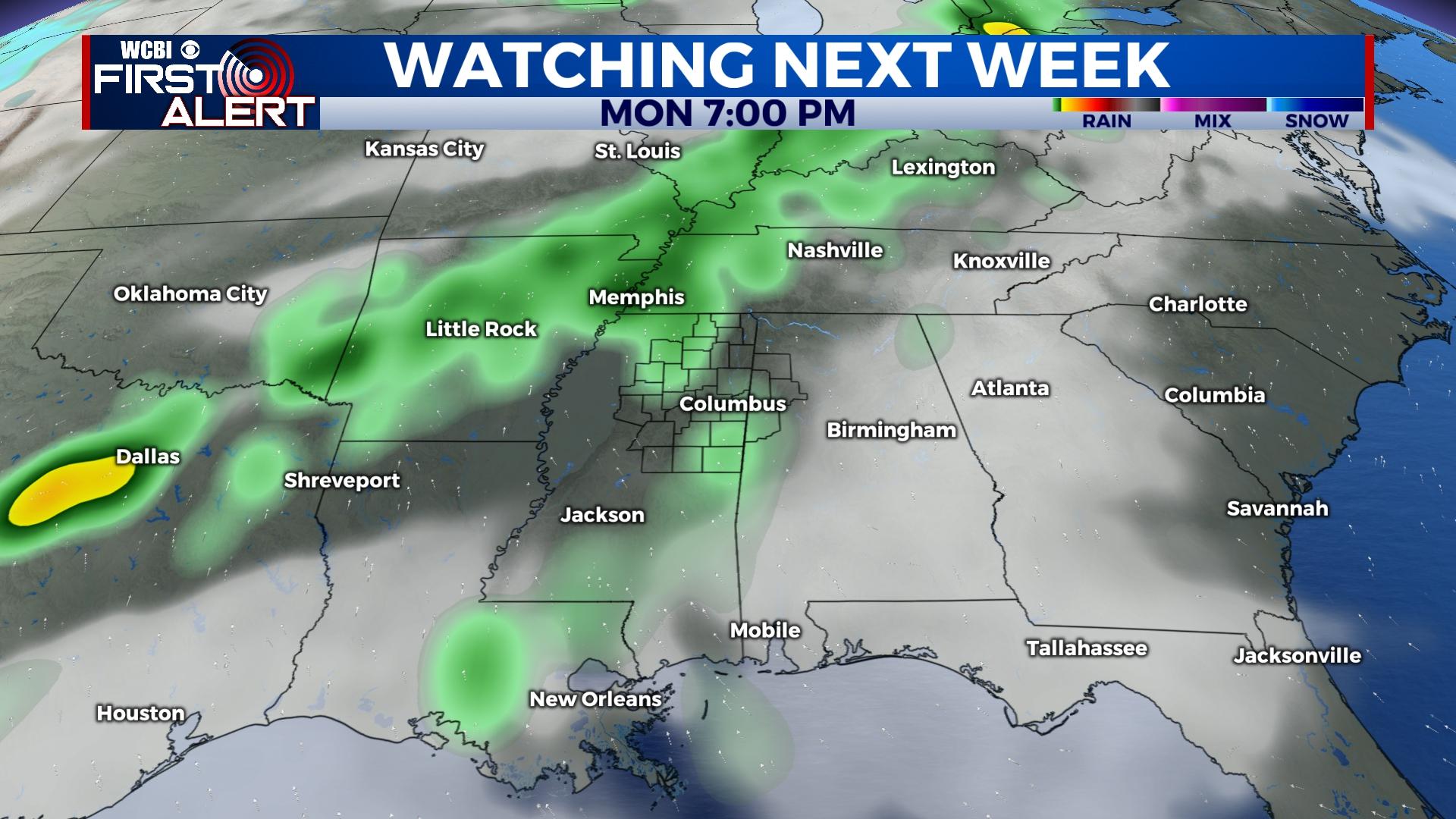
NEXT WEEK: Isolated showers and thunderstorms return to the forecast starting Monday. There looks to be a slightly better chance for storms on Tuesday and Wednesday, and some of these storms could briefly become strong or severe. Concerning late week, there remains inconsistency in medium range forecast models as to exact forecast evolution; however, signals remain for more severe weather potential mid to late week. Stay tuned!