Next round of rain
COLUMBUS, Mississippi (WCBI)- Temperatures are going to begin to drop through the rest of the week, becoming much more comfortable. Rain chances are also going to be increasing from Wednesday to Friday.
TUESDAY NIGHT: Cloud coverage will stay fairly clear for the majority of the evening, but they will begin filling in closer to Wednesday morning. Temperatures tonight will be mild and pleasant in the low to middle 50s.
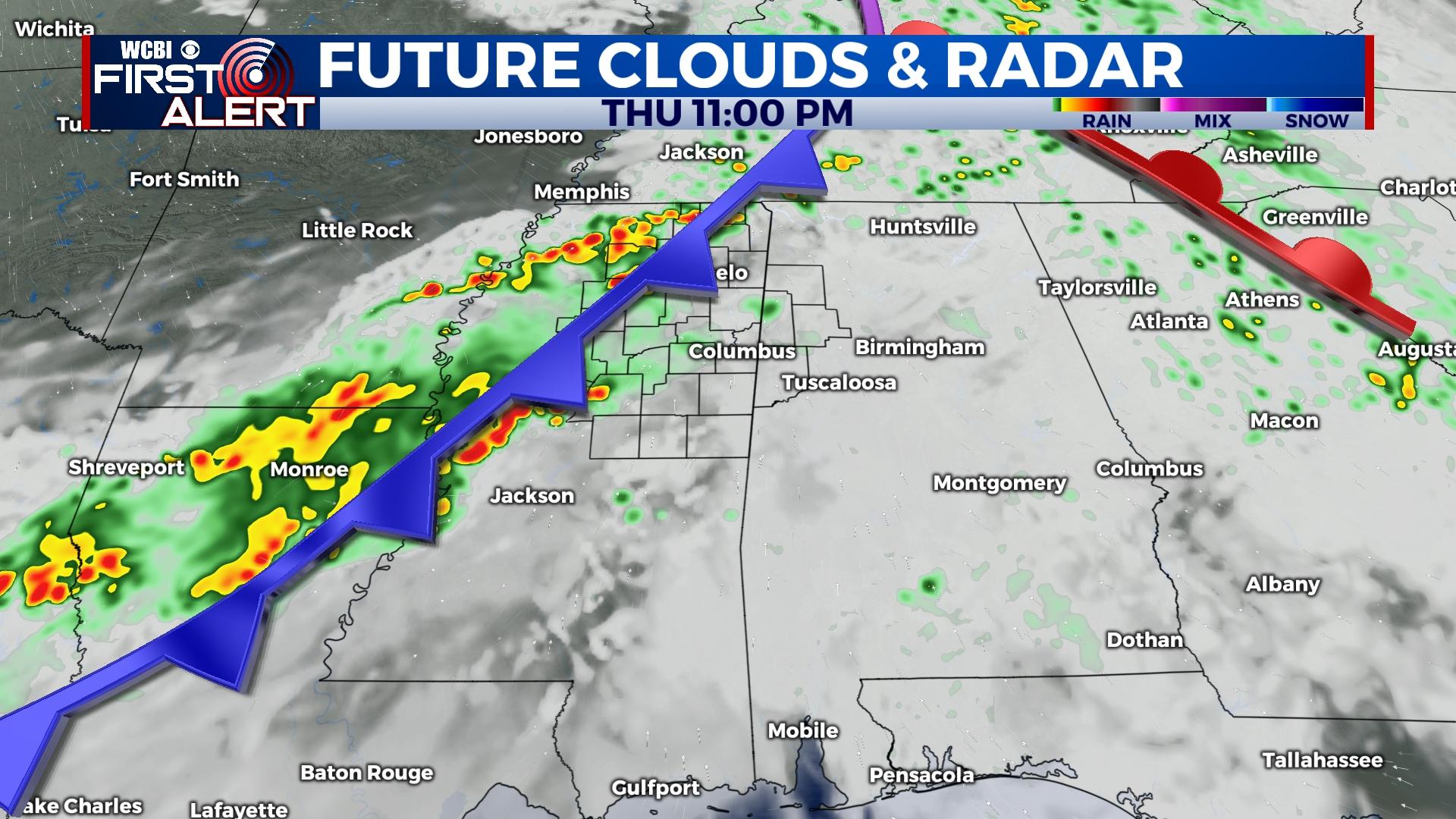
MID-WEEK: Rain will be returning to northern Mississippi during the morning Wednesday. The rain will be moving east along the stationary front, across the Deep South. Rain showers will continue into Thursday, where a few thunderstorms may be possible. High temperatures will be the middle to upper 60s both days. The overnight temperatures will remain in the middle 50s, with the heavy cloud coverage maintaining.
FRIDAY: We can expect to have more rain on Friday for the end of our week. The high temperatures will stay in the upper 60s. Friday afternoon & evening are going to be drying and clearing out. Overnight, cool air will be moving in and will drop temperatures into the lower 40s.
WEEKEND: Saturday still looks quite nice with lots of sun and highs in the 60s. Overnight Saturday into Sunday, there is a chance of seeing a few showers ahead of the next system. Sunday will be bringing scattered showers and storms by the afternoon. High temperatures will maintain in the middle to upper 60s, while low temperatures continue in the middle to upper 40s.


