Nice Thursday and Friday ahead of Saturday storms
COLUMBUS, Mississippi (WCBI) – The weather stays relatively pleasant through the week’s end before rain & storms move in Saturday.
THURSDAY: As high pressure slides off to the east, winds will shift to southerly today and help temps reach near 60° by afternoon under a mostly sunny sky.
FRIDAY: The day starts chilly, but the afternoon looks milder in the middle 60s even as clouds slowly increase. We may see a rogue shower or two in the evening, and a couple of non-severe storms could move in after midnight as elevated instability develops.
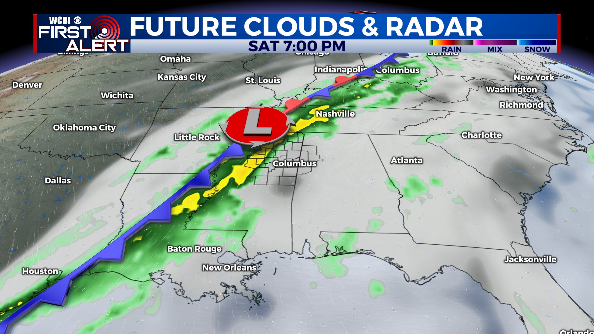
WEEKEND: Warm, increasingly humid & unstable air will steadily build northward across the state during the day…setting the stage for potential strong to severe storms later in the afternoon & evening. We expect a line of storms to cross the area between 4p & midnight, pushing into central Alabama thereafter. At least a few storms capable of hail, damaging wind, and a tornado risk are possible in this time frame. Keep in mind, this threat is not a “slam-dunk”, and there are several factors that could either decrease or potentially increase the local risk. Stay tuned! Save for a few showers Sunday morning, the rest of the day looks dry, breezy, and cold!
NEXT WEEK: Cold mornings and cool afternoons will be the rule Mon-Wed w/plenty of sun.


