Patchy frost Sunday morning, severe storms Tuesday
COLUMBUS, Mississippi (WCBI) – Mostly sunny and quiet weather is expected this weekend. Severe storms return to the forecast Tuesday.
SATURDAY: Increasingly sunny conditions take hold through the day with highs reaching the lower and middle 60s. Expect northwest breezes to gust over 20 mph at times.
SUNDAY: Patchy frost is likely during the early morning as temperatures drop into the 30s. Full sun later in the day will boost afternoon temperatures to the lower 70s.
MONDAY: Gradual increases in cloud cover are expected ahead of the next storm system, but the weather stays dry and increasingly breezy. Highs will reach the middle 70s.
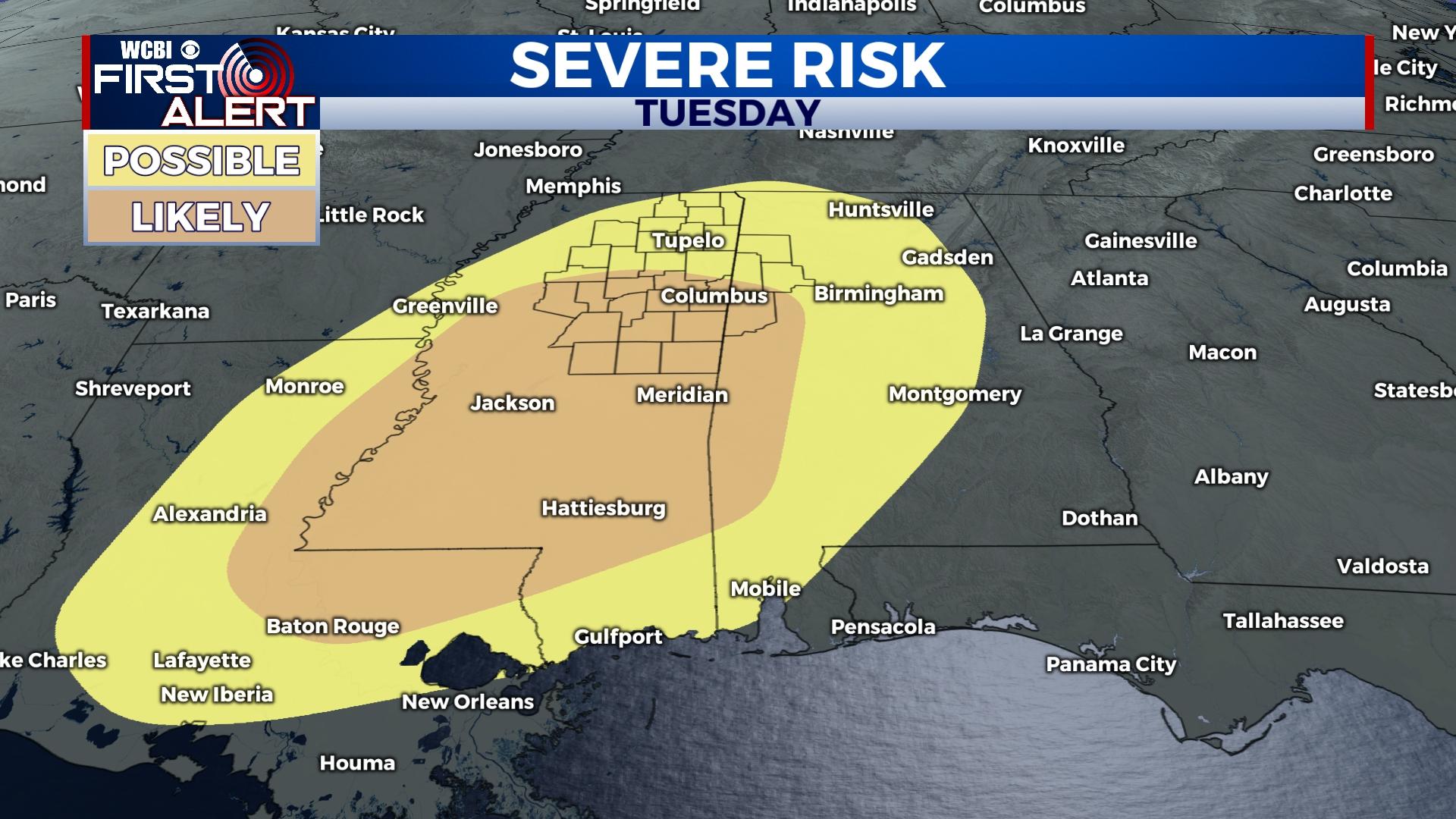
TUESDAY: Warm, increasingly unstable air will flow into the state through the morning hours. This will set the stage for a potentially significant severe weather event in the afternoon as highs climb into the middle and upper 70s. High amounts of moisture, instability, and shear will yield a potentially volatile environment for rapid severe storm development. This will include all modes of severe weather, so please use the next few days to review your severe weather safety plans.
REST OF WEEK: Gradual clearing is expected, but temperatures will also gradually be falling. 30s are possible again Friday morning.