Plenty of Sun to End the Week, Storms Monday
Sunny, drier, and cooler weather will continue for the end of the week now that the cold front has pushed through the area. Rain chances slowly increase through the weekend and into early next week as our next cold front approaches. Monday will be our best chance for showers and storms.
WEDNESDAY NIGHT: Cooler air will continue to move in overnight tonight with lows in the low to mid 40s. Winds will be out of the north at 5-10 mph.
THURSDAY-FRIDAY: We’ll see plenty of sun for the end of the week with highs in the upper 60s to low 70s. A nice breeze out of the north will help to keep us comfortable through the day. Morning lows will be in the 40s, so you may have to add an extra layer as you head out the door.
SATURDAY-SUNDAY: Temperatures will return to the mid to upper 70s for the weekend as a few showers slowly creep back into the area. We’ll keep rain chances lower (20%) for Saturday, but there could be a few more showers on Sunday as a cold front approaches. Either way, the weekend overall will be pretty nice as many of us won’t see rainfall and will see plenty of sunshine.
MONDAY: Showers and storms will develop through the day and will likely last into the evening. Some storms could produce heavy rain and gusty winds. Temperatures will top out in the mid 70s by the afternoon hours.
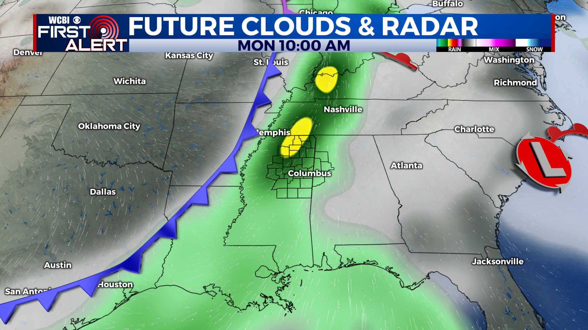
Storms will develop across the area through the day on Monday.
TUESDAY-WEDNESDAY: Once the cold front passes, rain will exit and temperatures will cool once again with highs back into the upper 60s to near 70. We should be in for a beautiful few days with a good deal of sunshine.


Leave a Reply