Rain and storms likely this week
COLUMBUS, Mississippi (WCBI) – Rain and storms are likely over the next several days. At some point, some flooding and severe risk will be possible as well…especially Wednesday.
MONDAY: Isolated storms over northwestern MS in the morning will gradually fizzle, leaving a mostly cloudy midday w/temps mainly in the 70s. Hopefully, there will be a few cloud breaks so the eclipse can be seen between 130-2p! Otherwise, rain is expected to redevelop this afternoon across the region and last into the evening.
MONDAY NIGHT: Expect widespread and steady rain for most of the evening & overnight hours. While you could hear a few rumbles of thunder, we don’t expect any major issues.
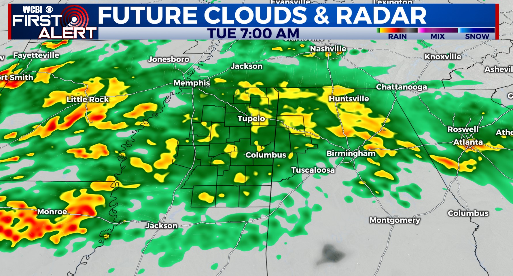
TUESDAY: Rain stays likely for a good chunk of the day, and some minor flooding problems could begin in a few spots. Otherwise, clouds and rain may hold high temperatures in the upper 60s.
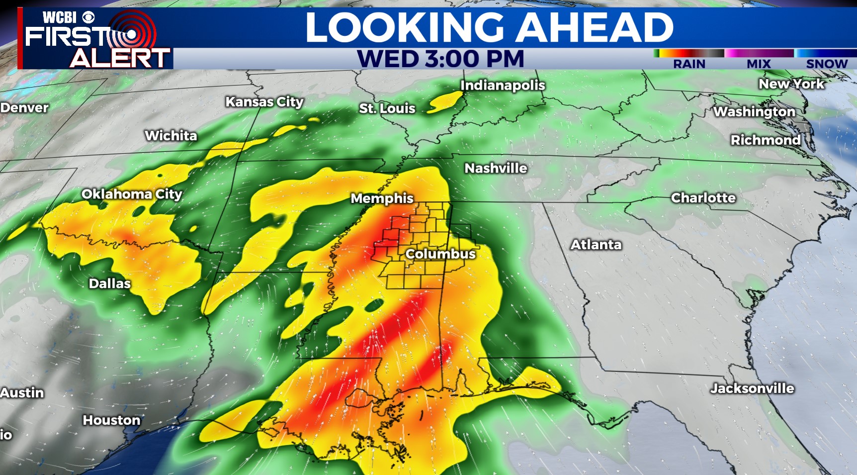
WEDNESDAY: This may be the most impactful day in terms of heavy rain and strong storms. The viewing area may end up being “split” between the two; areas roughly SE of the Natchez Trace could see severe storm potential Wednesday afternoon while areas along/NW of the Trace could see significant flood potential. Stay tuned for changes & updates! Regardless, up to 6″ of rain is possible between Monday – Wednesday across parts of northern/western MS.
THU/FRI: Clouds and isolated showers will stick around Thursday as the entire system finally shifts east. We should be back to some sunshine by Friday w/seasonable mid-April temps.


