Rain Chances Increase Leading Up to the 4th
COLUMBUS, Mississippi (WCBI) – Hot and humid weather continues. Rain chances increase on Sunday as we begin to enter a wetter pattern.
TONIGHT: Warm and humid. An isolated downpour or storm is possible this evening, but most of the area will be dry. Nothing you should cancel plans over! Low near 76°. South wind around 5 mph.
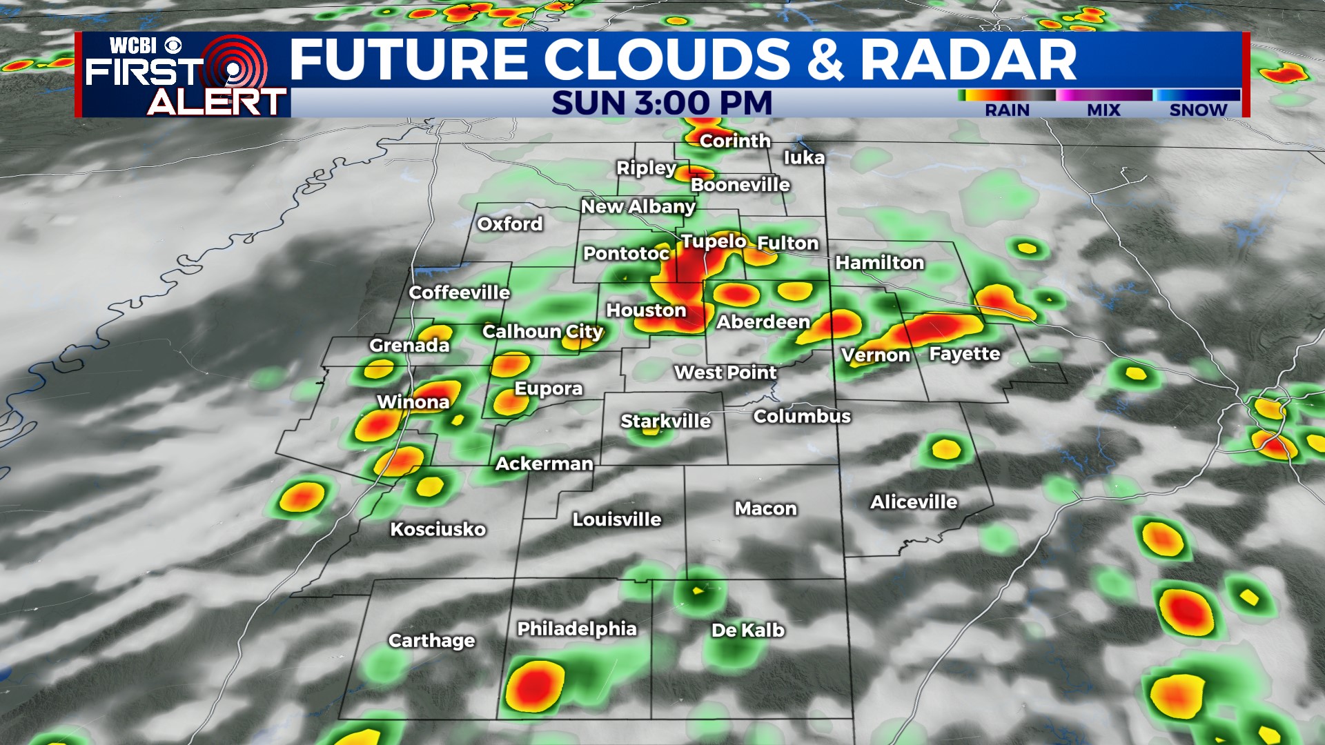
SUNDAY: Another blazing hot day. High near 97°. Heat Advisories have been issued, and ‘feels like’ temperatures could reach 105-110° tomorrow afternoon! Scattered thunderstorms are likely in the afternoon and evening as well. Some storms north of Highway 82 could be severe with gusty winds, hail, and frequent lightning. Not everyone will get a storm, and not all storms will be severe. Chance of rain: 40%.
JULY 4th: Highs in the low 90s. A weak boundary will be stalled just to our north, so rain and storms are likely at times during the day. Chance of rain: 60%. At this point, it doesn’t look like July 4th is a washout. We’ll continue to adjust the forecast as needed, and hopefully things trend drier leading up to Tuesday. Keep checking back!
REST OF NEXT WEEK: Hot and humid with daily rain and storm chances. High temperatures in the low 90s each day. Wednesday and Thursday look to be the wettest days of the week. Rain chances decrease over the weekend.


