Rain clears Friday afternoon, storms possible Sunday
COLUMBUS, Mississippi (WCBI) – An active pattern continues into the weekend. Frost is possible Saturday morning followed by another storm threat Sunday.
FRIDAY: Rain is likely during the morning hours, leaving the afternoon dry with slow clearing. Highs will reach the upper 50s to lower 60s with slight northwest breezes of 5-15 mph.
FRIDAY NIGHT: As the breeze relaxes and the sky becomes mostly clear, temperatures should fall into the 30s for most. Frost is likely to form.
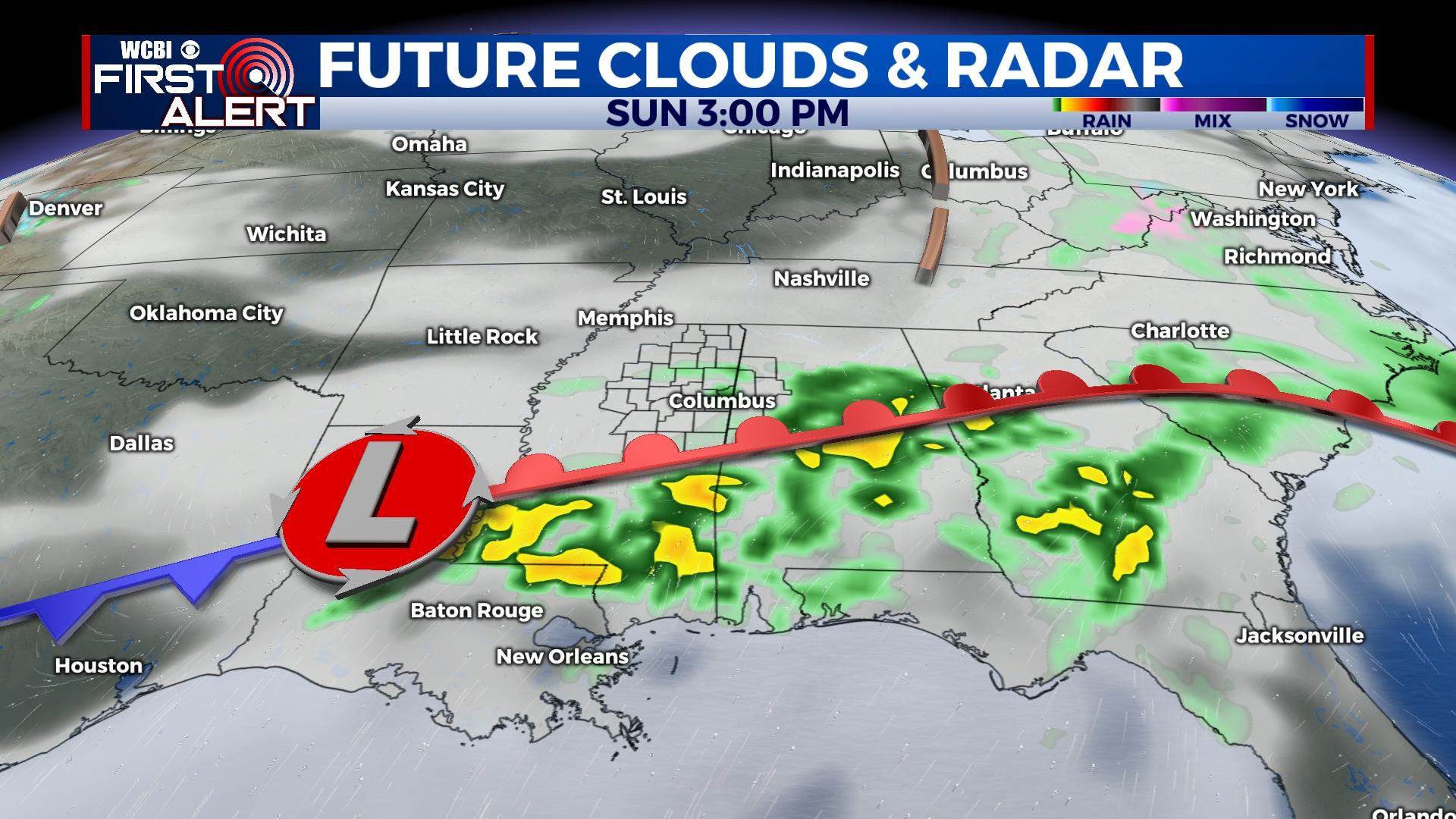
WEEKEND: Saturday is still shaping up to be quite nice with sunshine and highs in the middle 60s. Clouds will increase in the afternoon, and a stray evening shower or two will be possible. Showers and storms become likely Sunday morning, and there remains potential of a few strong to severe storms with gusty wind or hail the primary concern. If storms arrive early in the day as forecast, the severe threat would be reduced…but not zero. If storms hold off until midday, severe concerns would increase as warmer, more unstable air could be in place. Regardless, all rain & storms will exit the region late Sunday afternoon.
NEXT WEEK: Chilly weather highlights the start of the week. Highs will hold in the 50s Monday and Tuesday. Freeze concerns return Monday and Tuesday night as temperatures fall to or just below 32°. Briefly warmer weather moves in for mid-week followed by yet another freeze potential Friday.


