Rain ends Thursday
SUMMARY: Areas of rain will continue into Thursday with clearing during tomorrow afternoon. Sunny to mostly sunny weather will hold for Friday and the weekend. More showers and storms are possible next week.
WEDNESDAY NIGHT: Cloudy with areas of rain. Lows in the upper 40s to lower 50s. Winds NE 5-15 mph.
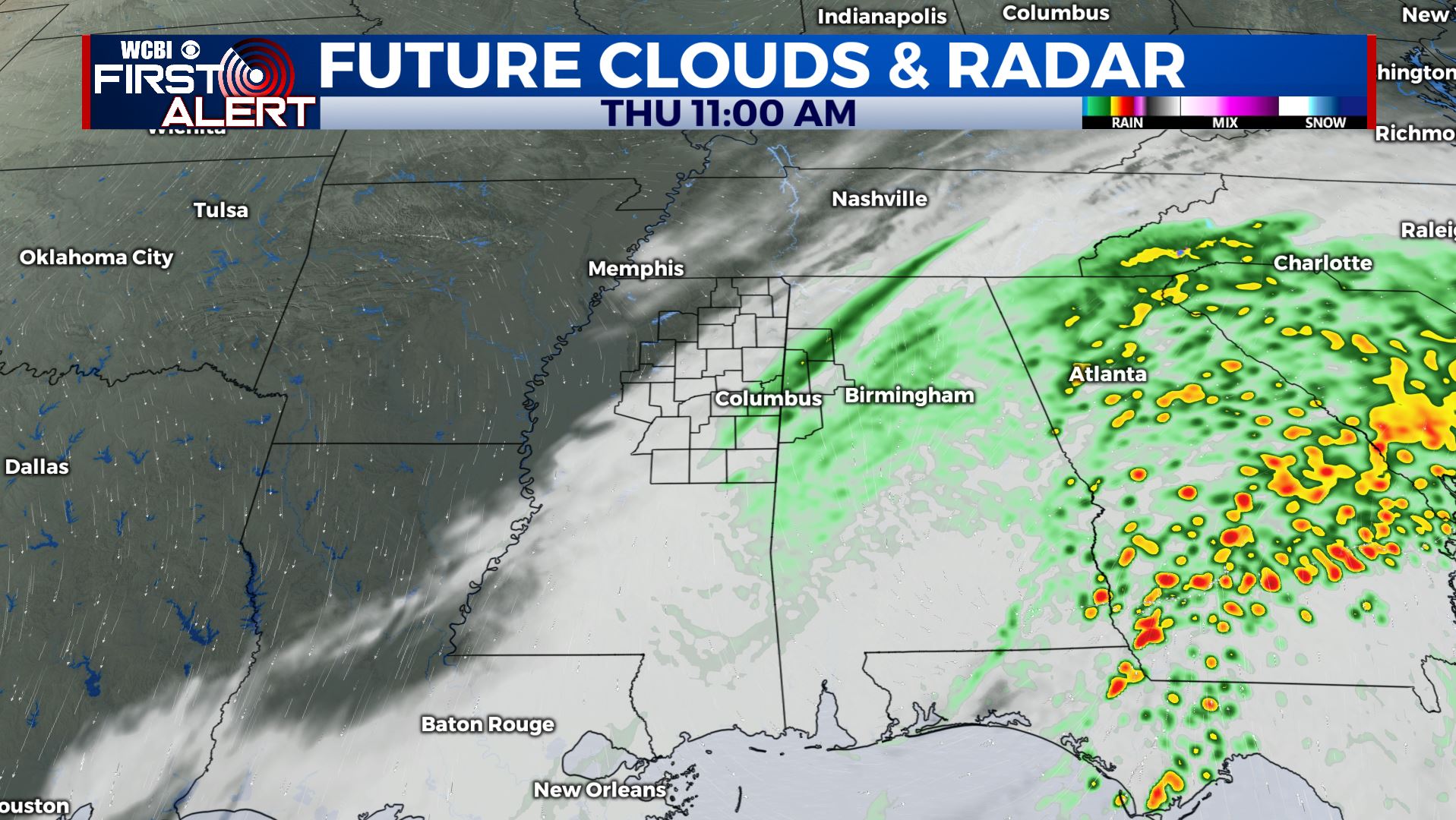
THURSDAY: Areas of rain through early afternoon followed by gradual clearing. Highs should top out in the low 60s if the wet weather moves away fast enough. Winds NNW 5-15 mph.
THURSDAY NIGHT: Clear and cooler. Lows in the upper 30s to around 40.
FRIDAY: Sunny. Highs in the upper 50s. Breezy NW winds 10-20 mph.
FRIDAY NIGHT: Clear, quiet, and cold. Lows near freezing.
SATURDAY: Sunny. Highs around 60.
SATURDAY NIGHT: Clear and chilly. Lows in the mid 30s.
SUNDAY: Mostly sunny. Highs in the mid 60s. Don’t forget to set your clocks ahead 1 hour with the start of daylight saving time.
NEXT WEEK: Areas of showers and storms will be possible Monday through Wednesday. The exact extent of it is yet to be determined. Data suggest that temperatures will moderate back into the 70s by Tuesday and Wednesday.
Follow @WCBIWEATHER on Facebook, Twitter, Instagram, and on the WCBI News App


Leave a Reply