Rain, Rain, Go Away
SUMMARY: Rain showers and storms are expected this evening into Sunday. A cold front will pass cooling us off to the upper 80s, not ideal but hey, we’ll take it. Temps will gradually start to warm back into the 90s later into the week. Tropical Storm Fred is still on the radar. It looks to be dying out but we will still be seeing some rain from this Monday into Tuesday. TONIGHT: After sunset showers and storms begin to dissipate, a chance of a stray shower is still possible. Mostly cloudy skies with a low around 73 is expected. SUNDAY: A higher chance of rain is expected, especially in the afternoon hours. Our temps begin to cool off into the upper 80s. SUNDAY NIGHT: Mostly cloudy skies are expected with a chance of seeing a rain shower. A low of 72 is expected with fog forming in the overnight hours. \ 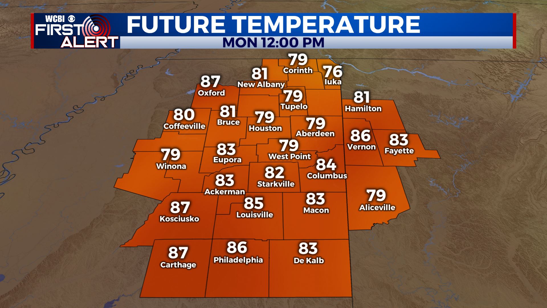 MONDAY-FRIDAY: Fred is planned to make landfall somewhere along the Florida panhandle Monday evening. TS Fred is expected to be in our area by Tuesday brining plenty of rainfall and a strong breeze. The cold front and Fred are expected to pass around the same time to cool down temps into the upper 80s. The rest of the week still has fairly high rain chances and temps start climbing back to the 90s. Follow us on social media! @WCBIWEATHER on Facebook, Instagram, and Twitter!


Leave a Reply