Rain & Storm Chances Return
While the weather has been decent for the last several days, changes will be coming starting as early as Sunday. Pop-up storms will be possible through the afternoon with better chances for rain and storms as we get into next week. Temperatures will stay seasonably warm with highs near 90 and overnight lows in the 60s and 70s.

SATURDAY NIGHT: Clouds will increase after midnight with an isolated shower or two possible by sunrise on Sunday. Lows will be near 70 with a light southerly wind.
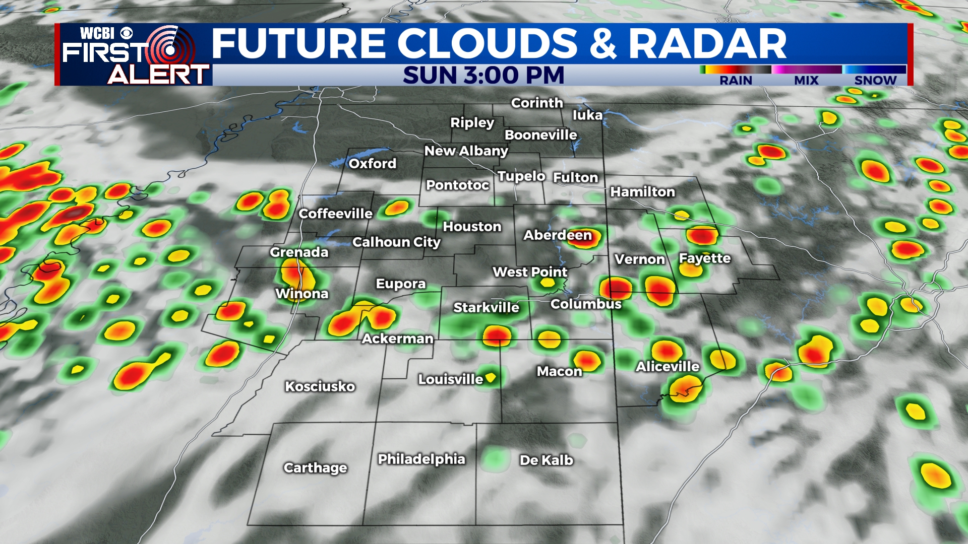
SUNDAY: Father’s Day weather is looking decent with a mix of sun and clouds and highs in the low 90s. We’ll continue to be hot and humid with the chance of some pop-up storms in the afternoon. The day won’t be a total washout, but there will be some rain showers around. Just keep an eye on the weather and be ready to head inside for a few minutes if a storm develops. Winds will be from the southwest at 5 to 10 mph.
MONDAY: More scattered showers and storms will be possible on Monday with temperatures climbing to near 90 by the afternoon.
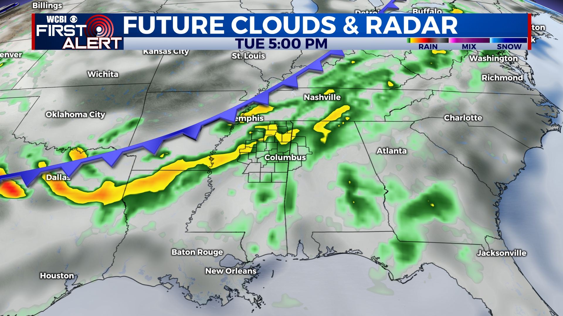
TUESDAY-WEDNESDAY: Our best rain chances of the week look to be on Tuesday and Wednesday, when widespread showers and storms are expected across the area. We’ll keep rain chances in the 60%-70% range through the middle of the week with highs in the mid to upper 80s. Overnight lows will remain near 70.
THURSDAY-SATURDAY: Our unsettled weather pattern will continue for the end of the week and into the weekend with isolated pop-up showers and storms possible each afternoon. Again, these days won’t be a total washout, but the chance for some brief downpours is there. Highs will be in the upper 80s to near 90 with overnight lows near 70.


Leave a Reply