Rain & storms tonight, sunny end to the week
SUMMARY: A line of showers and storms is expected to weaken as it moves into north Mississippi tonight. There still could be gusty winds and heavy downpours but the highest threat severe weather looks like it will remain to our west. Rain potential with this system should generally be in the 1/2” to 1” range.
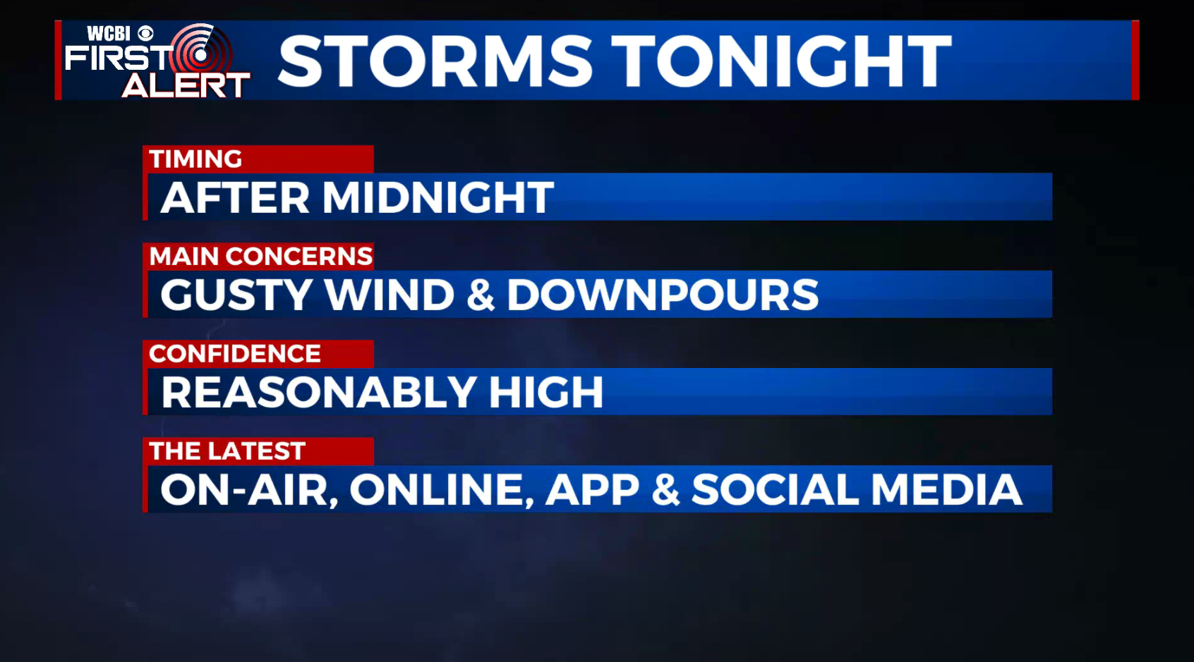
TONIGHT: Rain and storms after midnight. Some storms may be gusty with heavy downpours and lightning. Lows in the low 60s. Winds SSW 10-20 mph.
WEDNESDAY: Turning partly cloudy with the chance of a few showers & storms during the day. Highs in the low 70s. Breezy winds between 10-25 mph becoming westerly as the day wears on.
WEDNESDAY NIGHT: Mostly clear to partly cloudy. Much cooler lows in the upper 40s.
THURSDAY: Mostly sunny. Highs in the low 70s. Breezy WNW winds 10-20 mph continue.
THURSDAY NIGHT: Mainly clear, quiet, and cool. Lows in the mid 40s.
FRIDAY: Sunny skies and just about picture perfect. Highs in mid to upper 70s.
WEEKEND: Mostly sunny and warm. Highs in the 80s.
Follow @WCBIWEATHER on Facebook, Twitter, Instagram, and the WCBI News App


Leave a Reply