Rainy start to week, much colder by weekend
COLUMBUS, Mississippi (WCBI) – Rain and a few storms start the week out followed by cooler air for mid-week. Much, much colder air arrives Friday night.
MONDAY: Rain and isolated strong storms are possible for the rest of the morning hours. The responsible cold front will pass through the region this afternoon, ending rain/storm chances. Highs should reach the low 70s before cooling down later in the day.
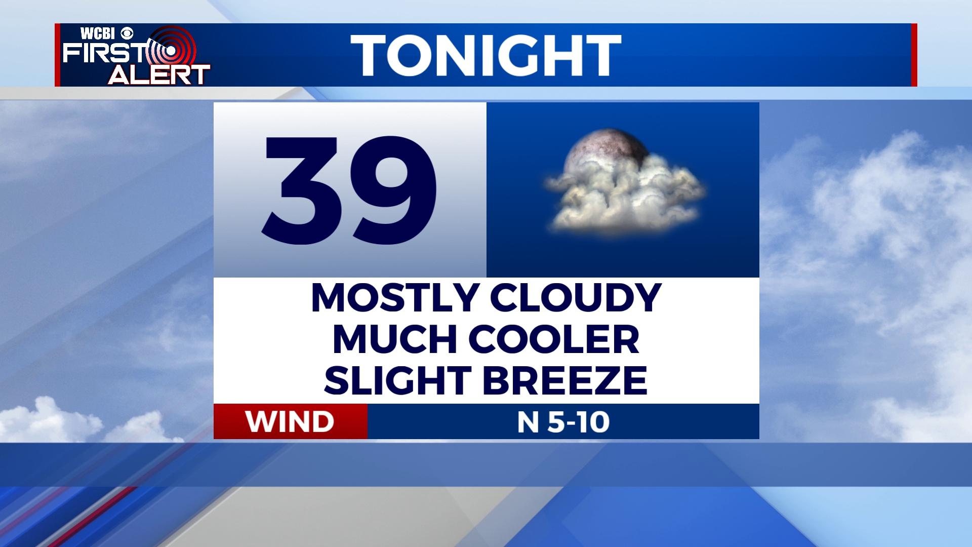
MONDAY NIGHT: Clouds hang on, but temperatures will continue to drop. Overnight lows in the upper 30s are expected, and with a lingering north breeze, wind chills could drop to near or just below freezing.
TUESDAY: The day starts dry, but additional rain will develop into the region by afternoon and evening. Coverage will be widespread, and some of the rain could be locally heavy. An embedded storm or two is also possible.
WED/THU: Cool air sticks around Wednesday with a few showers possible. Daytime highs stay in the 50s. Some clearing should occur Thursday as milder air makes a return – highs will climb back into the middle and upper 60s with some sunshine.
FRIDAY: Showers and storms become likely again as yet another disturbance moves through the region. While the scope of the severe threat remains unclear, there are strong signals of MUCH colder air rushing in by Friday night. Temperatures will drop from near 70 degrees in the afternoon into the 20s and 30s late Friday night.
WEEKEND: Saturday will be blustery and quite cold. Daytime highs look to stay in the 30s with wind chills below freezing all day. Low temperatures will then drop into the 20s Saturday night as the sky clears and wind relaxes. Sunday brings back the 50s and sunshine!