Remnants of Ida moving out, gradually improving weather in store
SUMMARY: The remnants of Ida will be exiting Mississippi today, leaving a cloudy sky much of the day. Warm but LESS HUMID air is in store later in the week.
TUESDAY: Cloudy with scattered showers with highs in the 70s to near 80 degrees toward I-55. Winds will stay breezy and shift to the northwest behind Ida’s remnants.
WEDNESDAY: Expect a mix of sun and clouds with highs in the 80s. On the periphery of a developing ridge to the west, a few showers and storms could develop late in the day and move into north Mississippi. Any coverage of rain or storms should remain isolated.
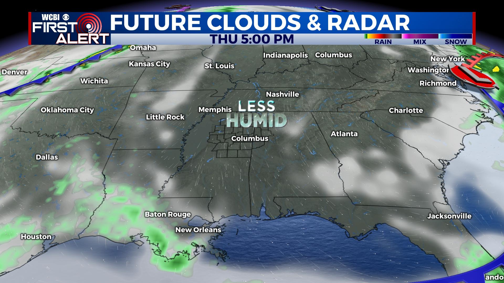
THURSDAY/FRIDAY: Some really fabulous weather is in store both days as some drier works in from the north. It will resemble a taste of early fall in the mornings with lows down in the 60s or even upper 50s Friday morning. Daytime highs will be in the mid 80s with full sun.
WEEKEND: Some humidity works its way back in Saturday and Sunday, but the weather stays dry and mostly sunny. Highs will be in the upper 80s with no rain expected at this time – good news for MSU’s home opener against Louisiana Tech.
TROPICS: Kate remains a poorly organized, weak tropical storm in the central Atlantic. Another disturbance just off the coast of Africa is expected to gradually develop, and the next name on the list is Larry.


