Severe weather risk sticking around
COLUMBUS, Mississippi (WCBI)- Showers and storms will be starting up tonight and will continue through the next several hours. The weekend will be clear and will dry out. More clouds move in next week.
WEDNESDAY NIGHT: Scattered showers and storms will begin popping up during the late afternoon and evening. Stronger to severe storms are possible throughout the evening and into the early morning hours of Thursday. All modes of severe weather are possible tonight North of US 82. Overnight temperatures tonight will be in the middle 60s.
THURSDAY: Majority of Thursday should be relatively calm. There will be a continued chance for light scattered showers throughout the morning and afternoon. Temperatures will warm right back up into the upper 70s. Another system will bring in more showers and storms for Thursday night. A severe risk of all modes are possible again tomorrow night. Overnight temperatures will again be in the middle 60s.
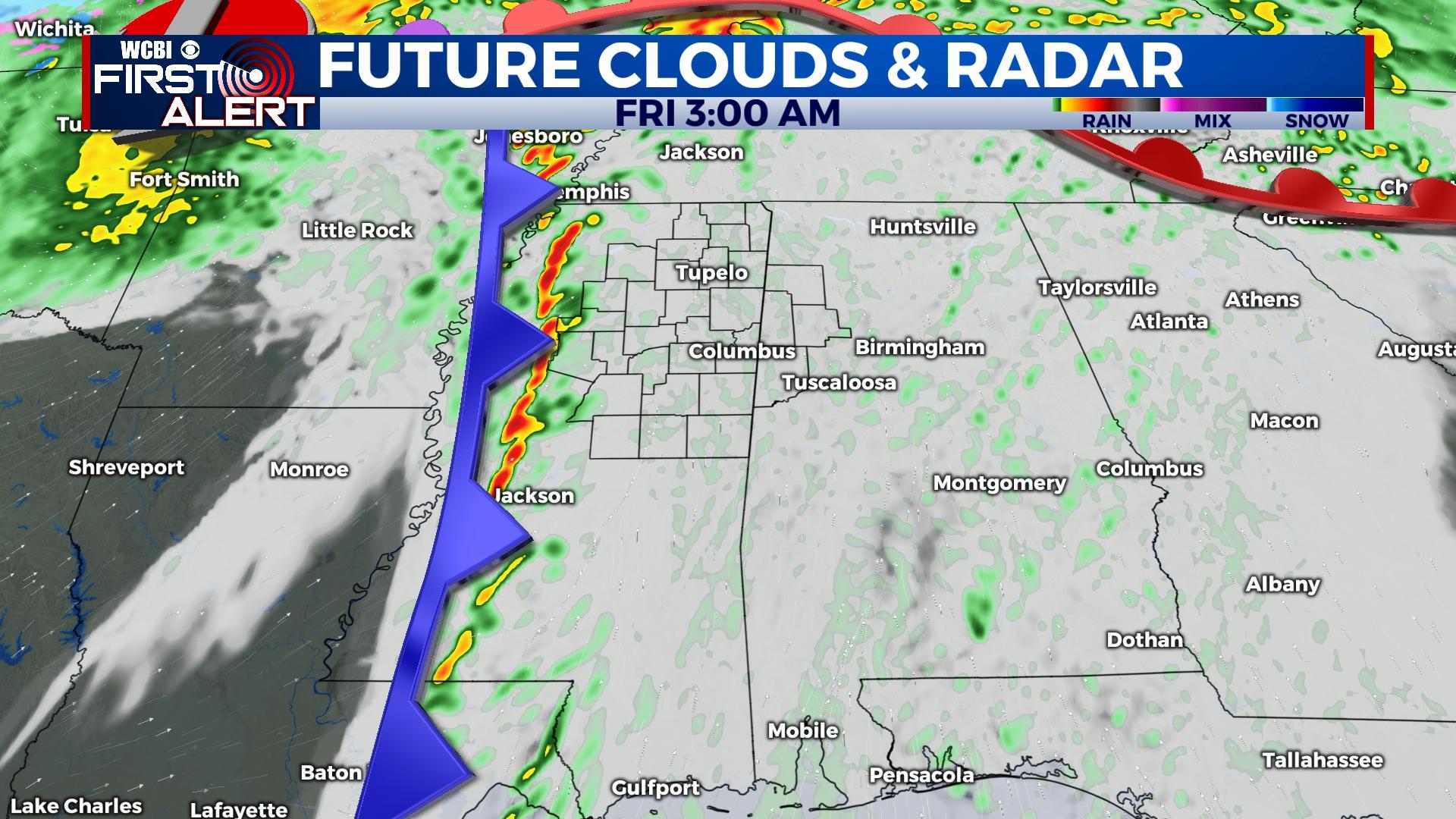
FRIDAY: The overnight storms will continue into Friday morning. Rain will continue to dry out into the afternoon, clearing the cloud coverage along with it. High temperatures will be slightly cooler, hitting the lower 70s. Into the overnight hours, temperatures will fall into the low to middle 40s.
WEEKEND: Much calmer for the first weekend of March! There will be quite a bit of sun and a few clouds are possible. Temperatures will be a bit more tolerable, in the 60s to lower 70s. Overnight temperatures will be in the lower to middle 40s.


