Showers early Thursday, warming up for weekend
COLUMBUS, Mississippi (WCBI) – SUMMARY: An approaching front will bring a chance of showers early Thursday. Warm, dry weather looks to take hold for the weekend.
WEDNESDAY: Expect clouds to increase throughout the day with highs reaching the upper 70s. The air will also become substantially more humid by afternoon.
WEDNESDAY NIGHT: Showers and isolated storms could break out overnight into early Thursday. Expect lows to only drop off into the low 60s.
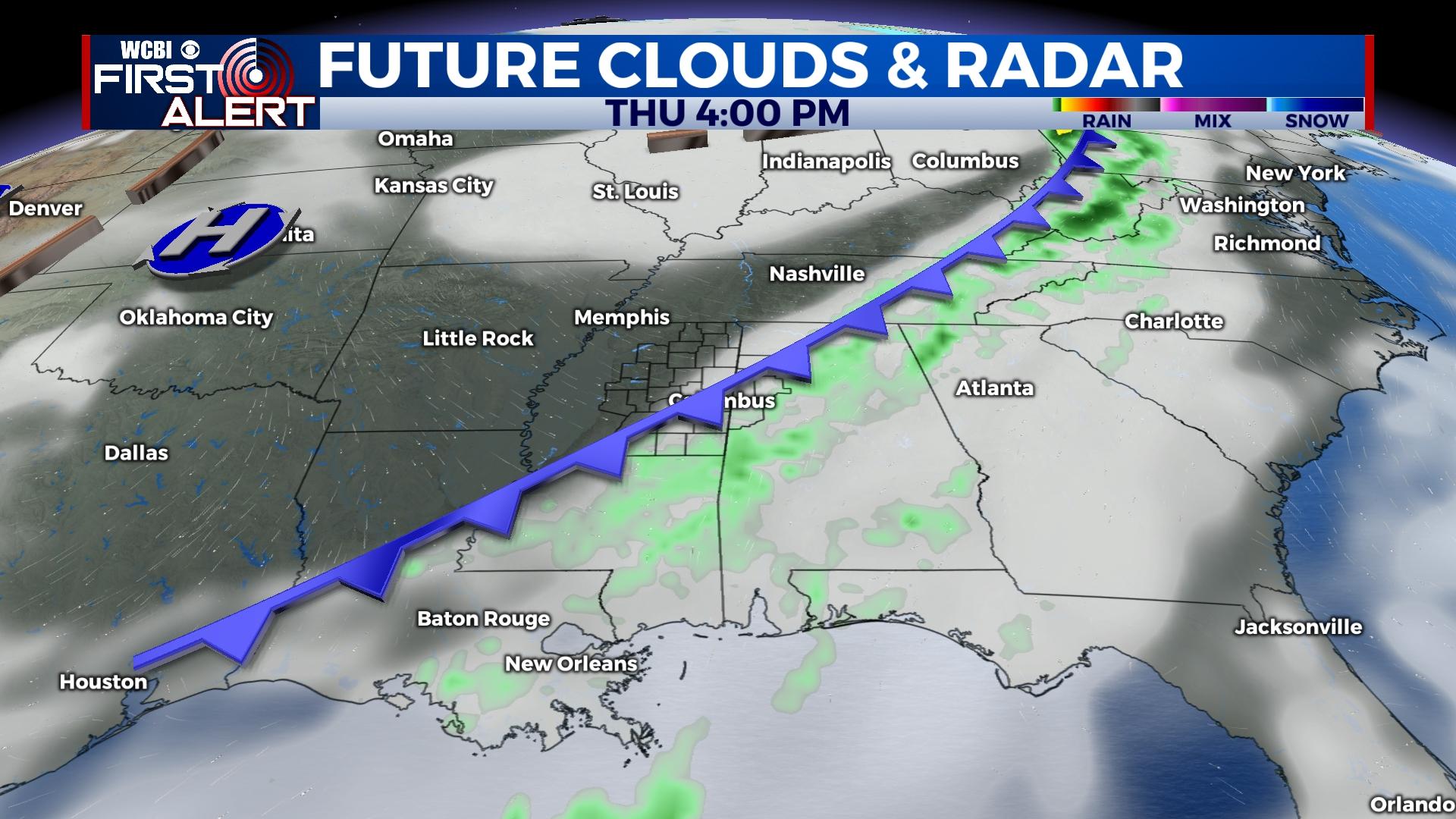
THURSDAY: Early showers or storms will clear out, and the actual front will pass through during the day with little fanfare. Highs will top out near 80 degrees with limited rain potential along the advancing front.
FRIDAY/WEEKEND: Friday will be mostly sunny and pleasant, but the weekend looks to bring warmer and more humid air back to the Twin States. Highs will reach the lower 80s both Saturday and Sunday.
NEXT WEEK: Warm, humid conditions continue Monday and Tuesday with highs in the middle 80s. There remains the chance of a stronger front next Wednesday, and this system will need to be watched for increasing thunderstorm potential.


