Showers for Saturday, sun by Sunday
COLUMBUS, Mississippi (WCBI)- Rain continuing into the beginning of our weekend. Saturday will be cloudy and rainy. Sunday brings back the chance to see the sun shining. High temperatures are staying warm, in the lower 80s, through the next week.
SATURDAY: Starting the morning with fog and a drizzle/sprinkle type of precipitation. Along with the cold front passing through, rain showers and possibly a few thunderstorms will continue through the rest of the morning and stay throughout the day. High temperatures today will return to the upper 70s to lower 80s. Looks like the rain will end at or before dinner time. Cloud coverage will be staying fairly heavy today. Tonight’s temperatures fall into the lower 60s, as cooler and less humid air moves in behind the passing cold front.
SUNDAY: Rain chance to 0%! Sky conditions are going to be partly cloudy, with breaks for the sun throughout the day. High temperatures will stick to the lower 80s, and the low temperatures to the lower 60s.
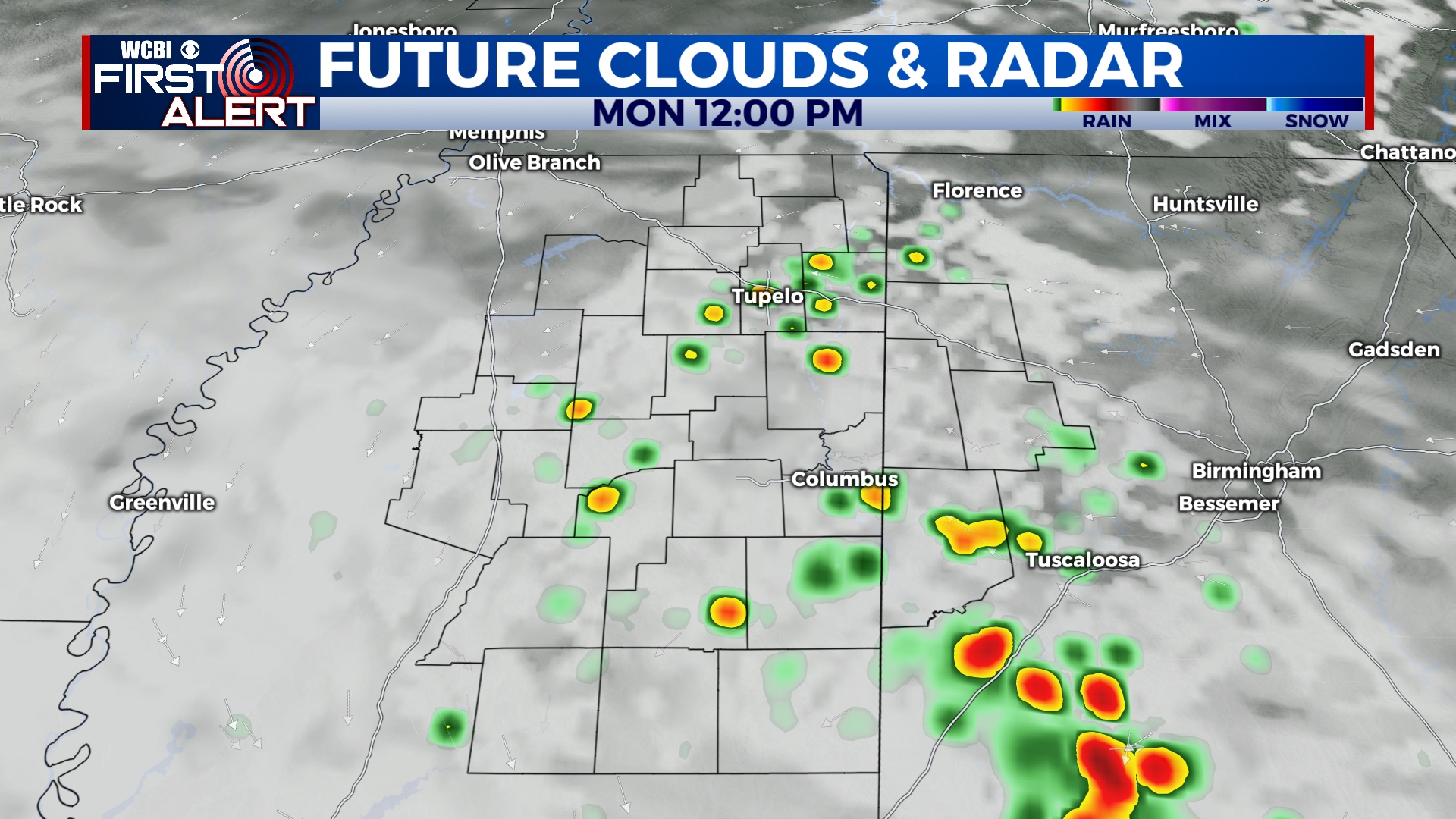
NEXT WEEK: Staying warm, with high temperatures maintaining in the upper 70s to 80s. Potentially heating back up towards the upper 80s/ lower 90s, by the end of the week. Light chance to 0% chance of seeing isolated showers the first half of the week, staying at 0% Thursday and Friday (for now). We will also have the full range of cloud coverage, from mostly cloudy on Monday to mostly clear by Thursday. Low temperatures will have a range from the middle 50s to the low/middle 60s, cooling off by the end of the week.


