Slightly warmer, rain on the way
COLUMBUS, Mississippi (WCBI)- While temperatures remain cooler, they will be warming up slightly each day ahead of the next round of rain. A line of showers and a few possible storms may move in overnight Thursday and into Friday.
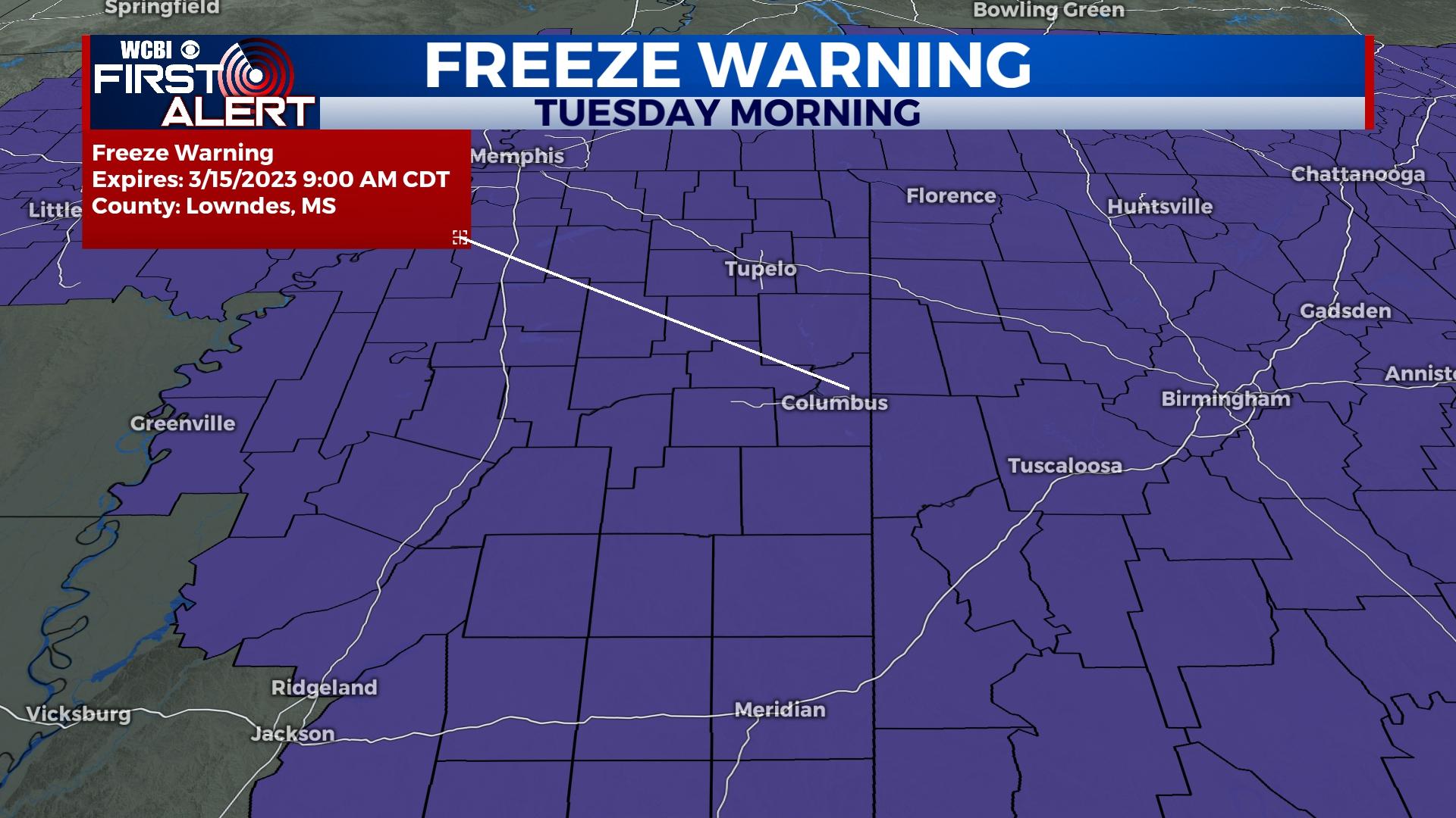
TUESDAY NIGHT: After another mostly clear day with cool temperatures and lots of sun, temperatures tonight are going to be taking another big drop. The mostly clear sky conditions are going to allow warmth from the surface to lift and cool tonight. The overnight temperatures are again expected to be at or below freezing, in the lower 30s to the upper 20s. The freeze warning has been extended through the night into 9AM Wednesday morning.
WEDNESDAY: The middle day of our week will continue the trend of having a mostly clear sky. The temperatures are going to be slightly warmer, making it into the lower 60s. Low temperatures are still going to be cold, but will stay above freezing in the middle 30s. Cloud coverage will be slowly filling back in through the night too.
END OF THE WEEK: Thursday brings a few different changes to our forecast. There will be an increasing amount of cloud coverage throughout the morning and afternoon. The cloud coverage will not become heavier until late afternoon, which allow high temperatures to warm up. Temperatures are expected to reach into the upper 60s and lower 70s. A line of showers and a few thunderstorms will move across Mississippi overnight Thursday and through Friday morning. Low temperatures will be warmer, in the upper 50s, due to the heavy amount of clouds. Friday will be comfortable, back in the 60s.