Some midweek drying before more rain Friday
COLUMBUS, Mississippi (WCBI) – Wednesday brings drier weather temporarily as more rain is set to move in early Friday.
WEDNESDAY: Clouds and areas of fog in the morning will give way to a mostly cloudy sky in the afternoon with temperatures reaching the mid to upper 60s. Spotty showers are possible, but the coverage and intensity of the rain will be much less.
THURSDAY: The spring feels return with a mix of sun and clouds with highs in the mid to upper 70s.
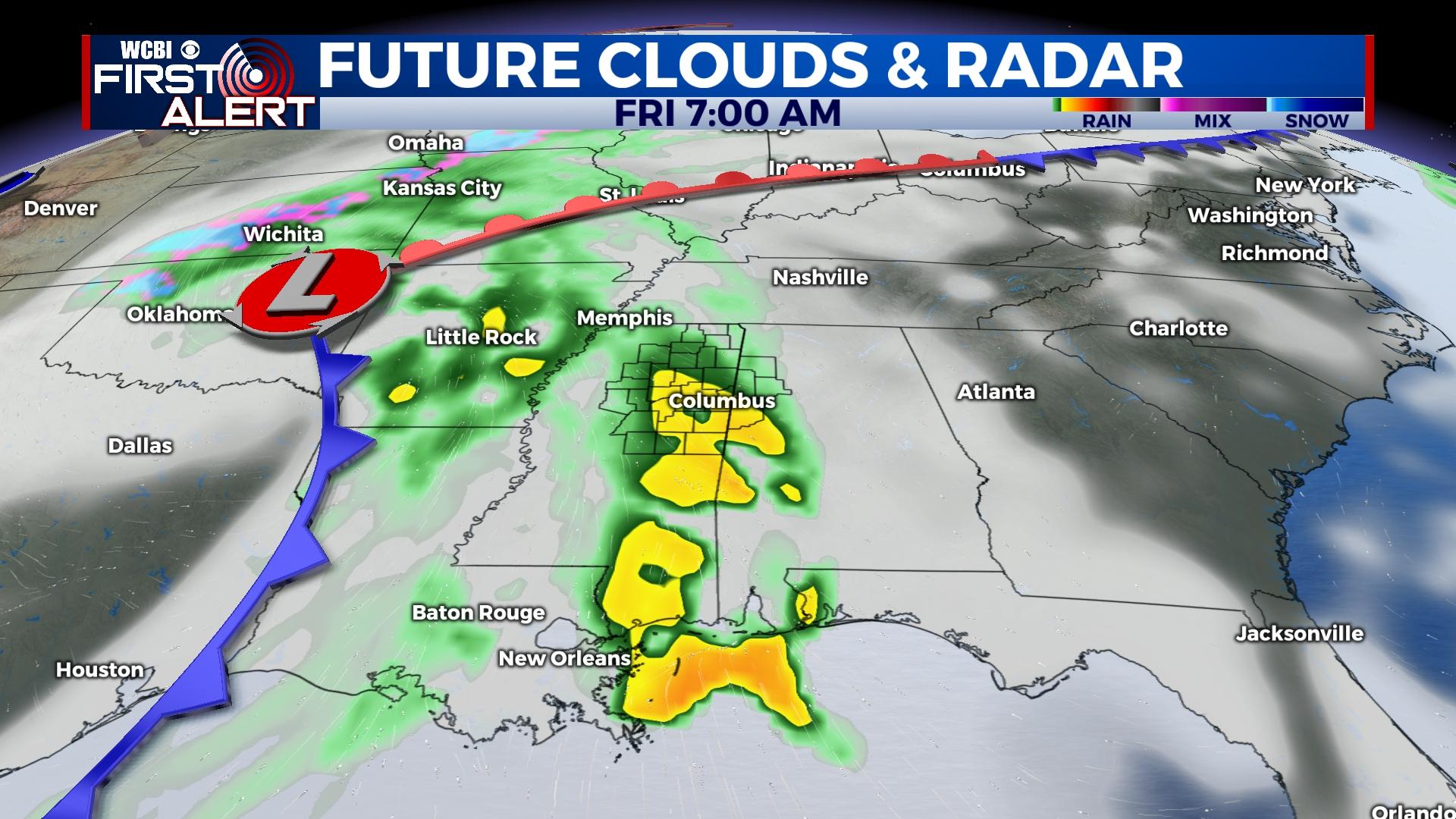
FRIDAY: Widespread rain and storms are expected early Friday, likely around daybreak. Some small hail and very heavy rain are the primary concerns with this activity. This will clear before midday, and afternoon heating could trigger isolated showers and storms to redevelop on the passing cold front. There’s a small risk of severe weather with this activity, but it is conditional on the atmosphere “recovering” enough – stay tuned.
WEEKEND: Gorgeous weather is expected as high pressure builds in from the west. This will bring sunshine, cool mornings, and mild afternoons each day.
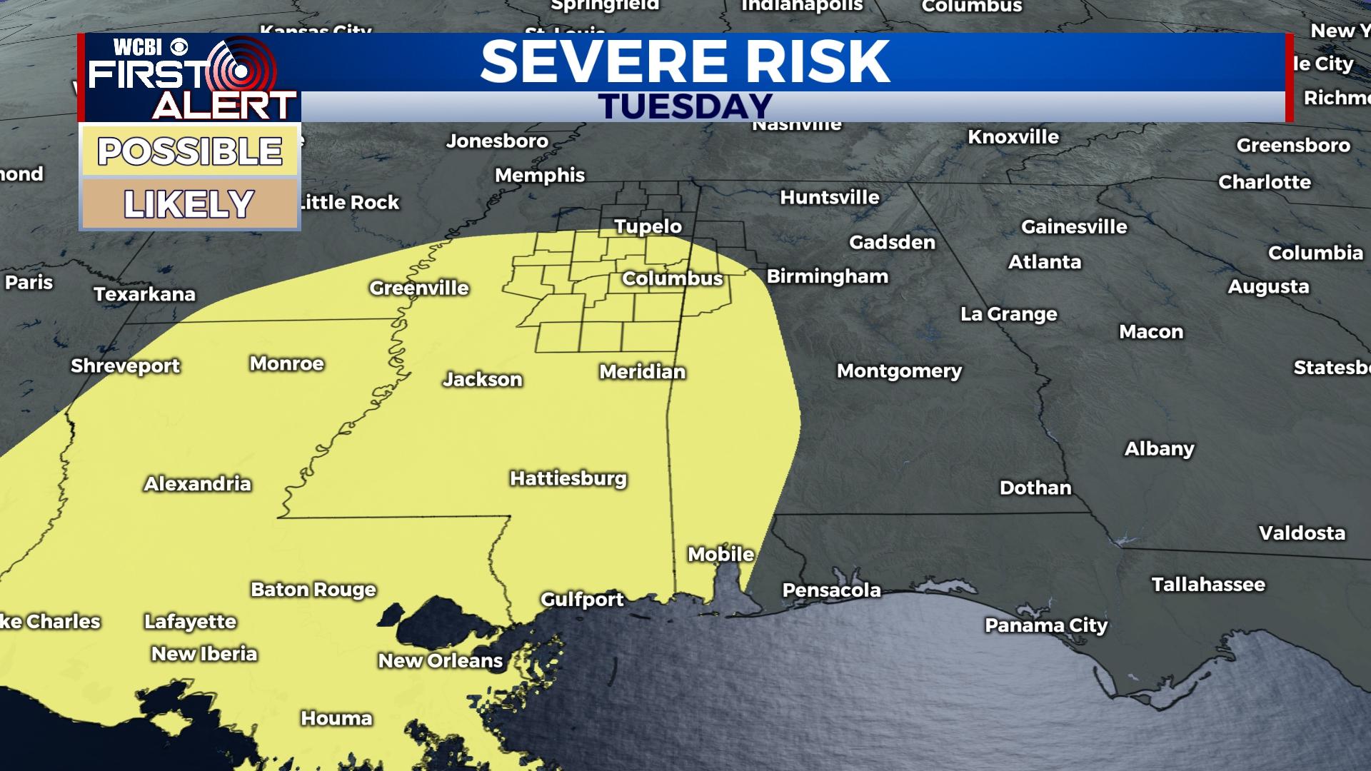
NEXT WEEK: Monday starts the week dry, but showers and storms will become likely on Tuesday. This system continues to show signal of severe weather, so stay tuned as we update this forecast over the next few days.