Some showers Wednesday afternoon ahead of drier stretch of weather
COLUMBUS, Mississippi (WCBI) – Scattered showers are possible Wednesday afternoon and evening. Drier and warmer weather settles in for the end of the week.
WEDNESDAY: Clouds increase across the region today ahead of the next disturbance that should glance the Deep South with rain. Most of us stay dry today, but a few showers are possible through the day, especially the farther north you go in the state. A few showers could linger into the evening hours as well. Daytime highs today will top out in the lower 70s for most.
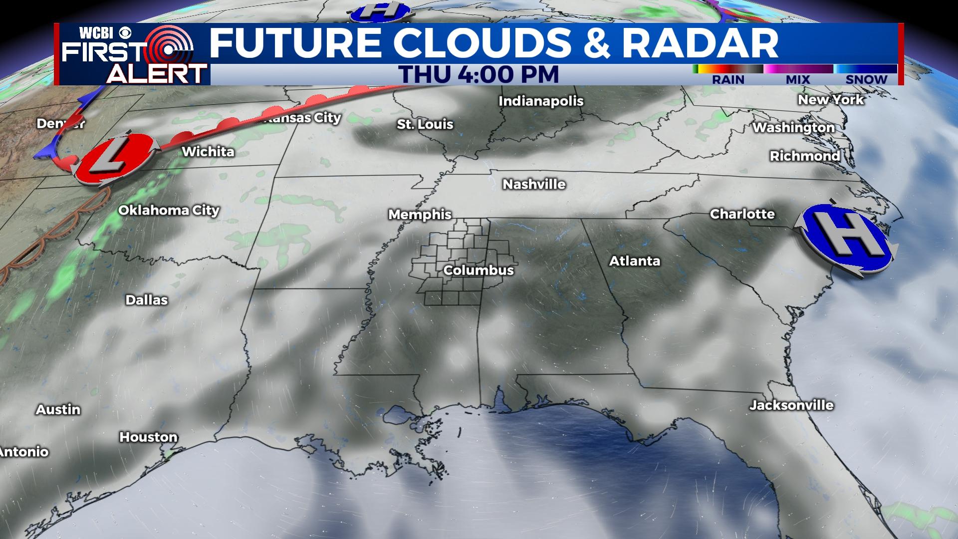
THURSDAY: Clouds and an isolated shower near the MS/TN line will be possible early, but clouds will decrease through the day. Plenty of sun is in store by afternoon with highs back in the 80s.
FRIDAY: The sky stays mostly sunny to end the week with highs in the lower to middle 80s.
WEEKEND: Unlike Easter weekend, this weekend is offering up plenty of sunny and dry weather to spend time outside. Expect highs both days in the middle 80s and lows in the mid to upper 50s in the mornings.
NEXT WEEK: Showers and isolated thunderstorms move back in on Monday as a cold front approaches the region. For now, ingredients do not support any major severe weather concerns. Sunshine should return by Tuesday.