Some storms Saturday, trending hotter next week
COLUMBUS, Mississippi (WCBI) – Storms stay possible Saturday, but rain & storm coverage decreases Sunday into most of next week.
SATURDAY: Isolated to widely scattered showers and storms remain possible through the day as pockets of daytime heating allow temperatures to reach near 90 degrees. Pooling moisture once again will boost the heat index up to 105° in some cases, and a heat advisory remains in effect for areas along/south of US 82.
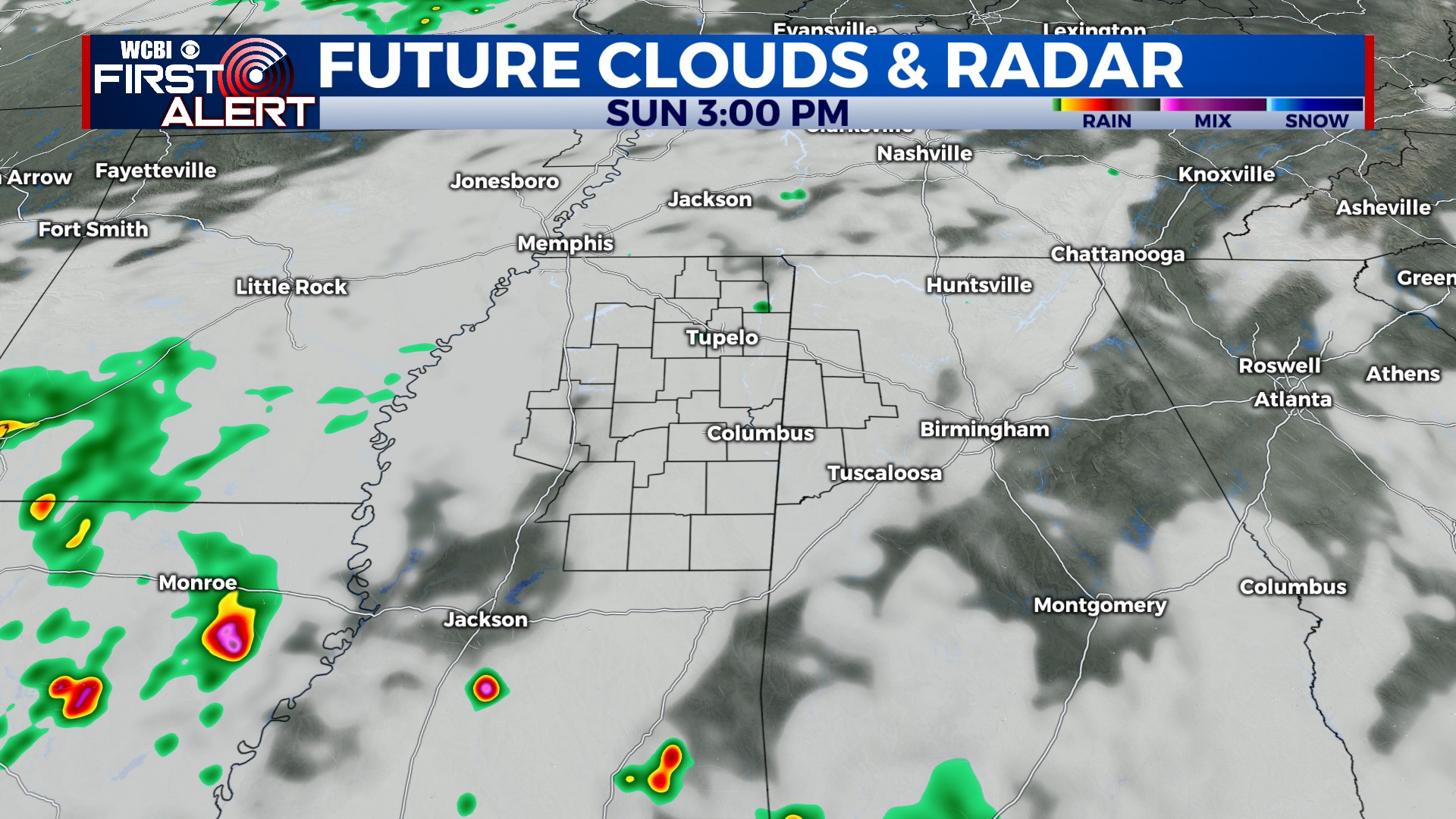
SUNDAY: A couple of showers will be possible in the morning, but storm chances look fairly unlikely into the afternoon hours. Most storms in the state should be focused toward/south of I-20.
NEXT WEEK: A ridge of high pressure is still set to build in from the west early in the week. This will allow for continued low rain chances Monday & Tuesday as highs climb into the lower & middle 90s. By Wed/Thu, dry weather should hold area-wide as highs reach the upper 90s. The heat index could approach 110° during this time frame. Indications are the ridge will begin to slightly weaken by Friday, allowing isolated storms to return to the forecast.


