Storm chance into the weekend
COLUMBUS, Mississippi (WCBI)- Showers and storms will be continuing throughout the weekend, each say during the afternoon/evening. Temperatures are going to be bringing back the heat, as we soar through the 90s once again.
FRIDAY NIGHT: The rest of the showers and storms from the afternoon will keep clearing off the East/Southeast the rest of the night. Cloud coverage will be sticking around for the most part. Temperatures tonight staying warm and muggy, patchy fog may be of concern once again.
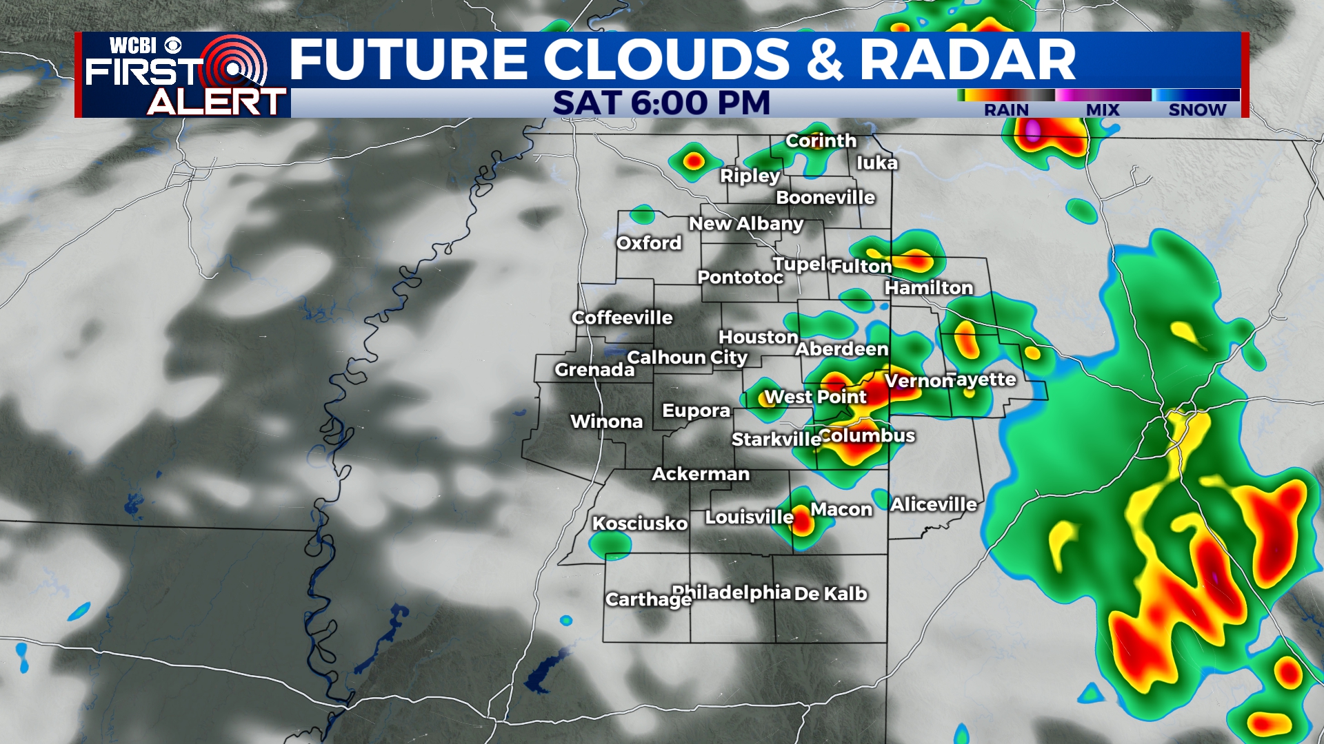
SATURDAY: Another day of hot temperatures and rain chance. High temperatures are heading back into the lower 90s. A HEAT ADVISORY is set in place for 10AM-8PM, as the heat index could again reach towards 105 degrees. The chance for rain continues at a 40%. Temperatures overnight will be staying warm, in the middle 70s.
SUNDAY: Copy and paste the conditions from Saturday for the end of the weekend. Temperatures peak in the lower 90s, with lows bottoming in the low to middle 70s. There is a 30% chance for more showers and storms.
NEXT WEEK: Bringing the heat! High temperatures are going to be moving through the 90s throughout the week. Conditions will also be becoming much drier for the middle of the week. With lots of sun and hot temperatures, make sure to take care of yourself. Overnight low temperatures will stay warm in the low to middle 70s.


