Storms becoming less likely, drier weather returns soon
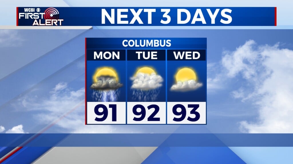
COLUMBUS, Mississippi (WCBI) – SUMMARY: After an active Tuesday, storms look less likely today before drier weather takes hold by Thursday.
WEDNESDAY: Expect a variably cloudy sky with spotty showers and storms possible, though the best chance of heavier rain and storms will be across Alabama. There, heavier rain could lead to flash flood concerns, and some of the storms could reach severe limits with damaging wind and hail, and a brief tornado…especially across north Alabama.
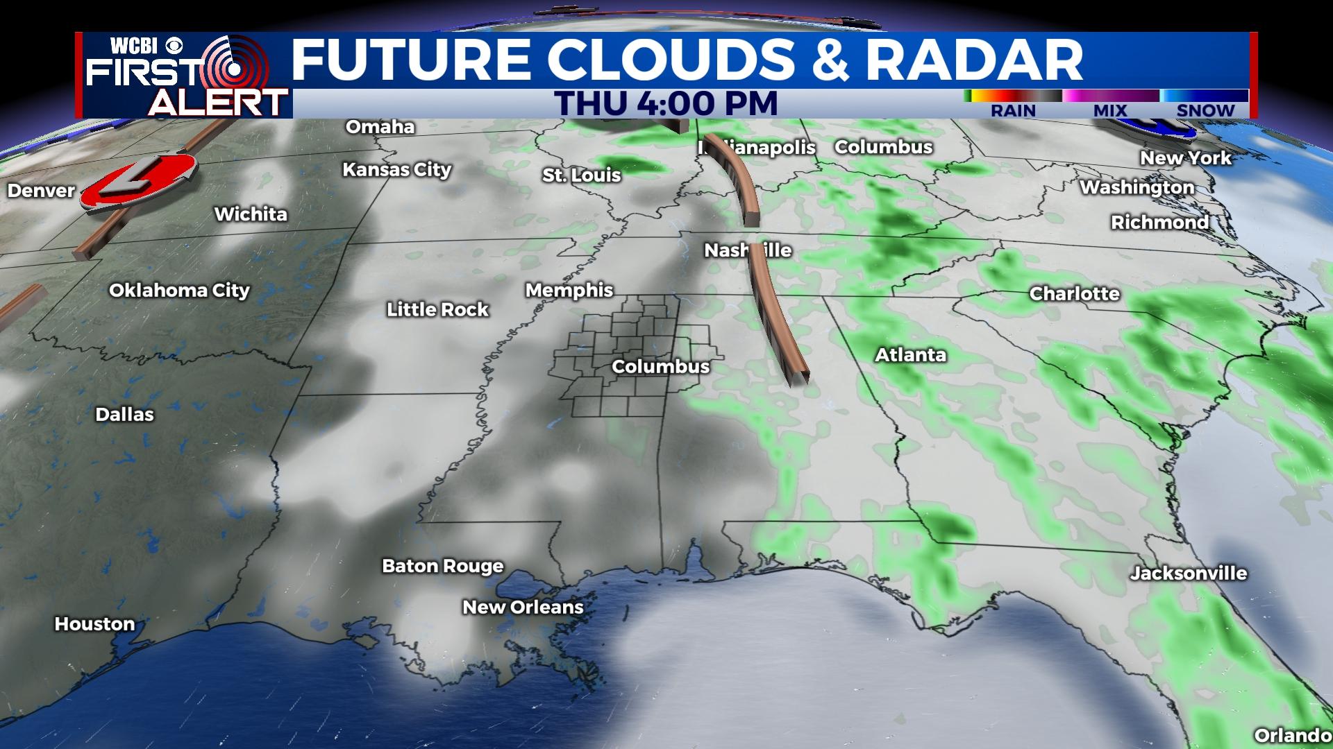
THURSDAY: The parent weather system responsible for the recent bout of unsettled weather will begin to move away from the region, leading to a partly cloudy sky with highs back in the lower 80s.
FRIDAY/WEEKEND: A nice stretch of warm, dry weather is in store for the Twin State region. Expect mostly sunny sky conditions with highs in the middle 80s.
MONDAY: Another cold front is expected to zip through and bring isolated showers and storms, but for now the better chance looks to be across the MS Delta.