Strong Saturday Storms Possible
 FRIDAY NIGHT: Scattered showers and even a few storms will remain a possibility. The chance of rain is 40%. The higher odds of rain will shift from south to north as the night wears on. Mild temperatures in the 60s are expected during the evening with overnight lows around 60. Southerly winds continue between 5 and 15 mph.
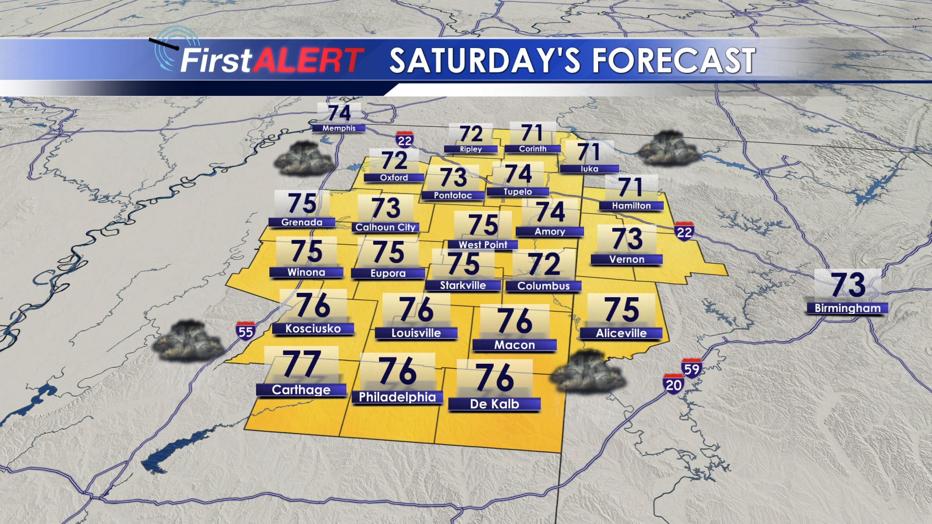
SATURDAY: Severe weather is a threat with the highest odds coming during the afternoon and evening. All modes of severe weather are still on the table, including damaging wind gusts over 60 mph, a tornado or two, quarter size hail, and heavy rainfall. Several clusters of activity may cross the region during the day. There may be a batch during the morning followed by some additional development during the afternoon and evening. The extent of coverage during the most unstable part of the day remains in doubt. The take away from all this is to remain weather aware during the day and have multiple ways of getting warning information just in case a storm approaches your location. Outside of any rain or storms, look for breezy SSW winds between 10 and 25 mph with higher gusts along with highs in the 70s.
SATURDAY NIGHT: The rain and storm threat will end from north to south as a cold front moves into central Mississippi and Alabama. Temperatures cool into the 50s in many spots.
SUNDAY: Our area should have a drier, more stable day with better rain chances setting up across central and southern parts of the Twin States. Highs in the upper 60s to around 70 are still likely under variably cloudy skies. Cooler 40s return Sunday night.
MONDAY-TUESDAY: Partly to mostly cloudy return along with a 20% chance of showers. Not everyone will get rain during this time. Highs look to be mainly in the 60s with overnight lows in the 40s to low 50s.
WEDNESDAY-THURSDAY: Another round or two of strong to severe storms is possible in addition to heavy rainfall. Warmer 70s should return out ahead of the system. We still have many days to watch it but it’ll be the next big thing after the weekend.
Follow @WCBIWEATHER on Facebook, Twitter, and Instagram


Leave a Reply