Much colder air arrives, near freezing Tuesday morning
COLUMBUS, Mississippi (WCBI) – A strong cold front will pass through the region and bring showers and storms Monday. Much colder air arrives Tuesday.
MONDAY AFTERNOON: Showers and storms have ended for the day, but clearing will be slow to occur for the afternoon. Temperatures will likely fall into the 50s or 40s by late-day as strong northwest breezes pick up to near 25 mph.
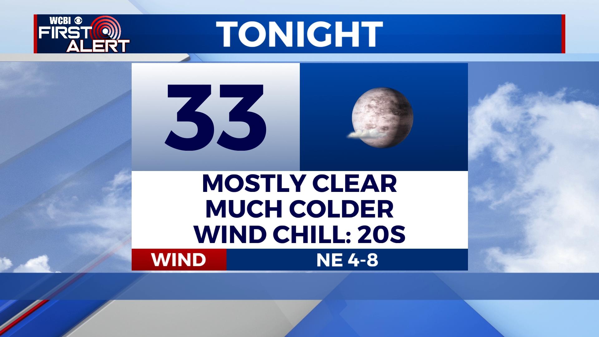
MONDAY NIGHT: Mostly clear and much colder with lows in the 30s. Wind speeds will stay up enough overnight to prevent widespread frost formation.
TUESDAY/WEDNESDAY: Variably to mostly cloudy both days with highs in the 50s Tuesday and in the 60s Wednesday. Showers are possible late Tuesday into early Wednesday, but the best chance of rain will set up east of our region.
THURSDAY/FRIDAY: Unseasonably warm air returns to the Twin States ahead of the next front. Highs Thursday and Friday will easily reach the 70s if not low 80s by Friday.
SATURDAY: Another chance of showers and strong storms will accompany the next cold front passage. For now, this system looks substantially stronger than Monday’s, and it will need to be watched closely for severe weather potential.


