Sunday clear out
COLUMBUS, Mississippi (WCBI )- Saturday was a day of heavy cloud coverage, some sun, and a hint of showers and a few thunderstorms. Cloud coverage clears mostly for Sunday, bringing back plenty of sunshine.
SATURDAY NIGHT: Tonight’s temperatures fall into the lower 60s, as cooler and less humid air moves in behind the passing cold front. The mostly cloudy sky conditions will clear out quite a bit through the night.
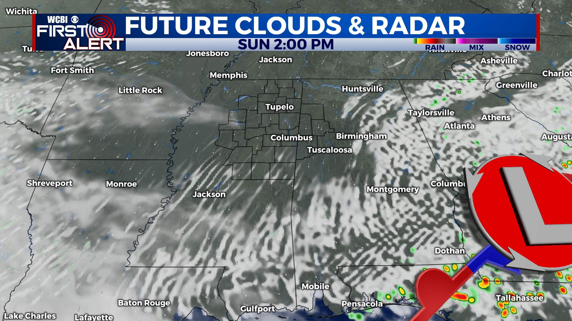
SUNDAY: Rain chance to 0%! Sky conditions are going to be partly cloudy, with breaks for the sun throughout the day. High temperatures will stick to the lower 80s, and the low temperatures to the lower 60s.
NEXT WEEK: Staying warm, with high temperatures maintaining in the upper 70s to 80s. Potentially heating back up towards the upper 80s/ lower 90s, by the end of the week. Light chance to 0% chance of seeing isolated showers the first half of the week, staying at 0% Thursday and Friday (for now). We will also have the full range of cloud coverage, from mostly cloudy on Monday to mostly clear by Thursday. Low temperatures will have a range from the middle 50s to the low/middle 60s, cooling off by the end of the week.