Sunny Friday ahead of weekend rain chance
https://www.wcbi.com/wp-admin/edit.php?post_type=issue
COLUMBUS, Mississippi (WCBI) – The week ends on a bright, sunny note ahead of additional rain chances for the weekend.
FRIDAY: Mainly sunny and pleasant after a cold start! Highs will top out in the middle 50s with gentle southwest breezes.
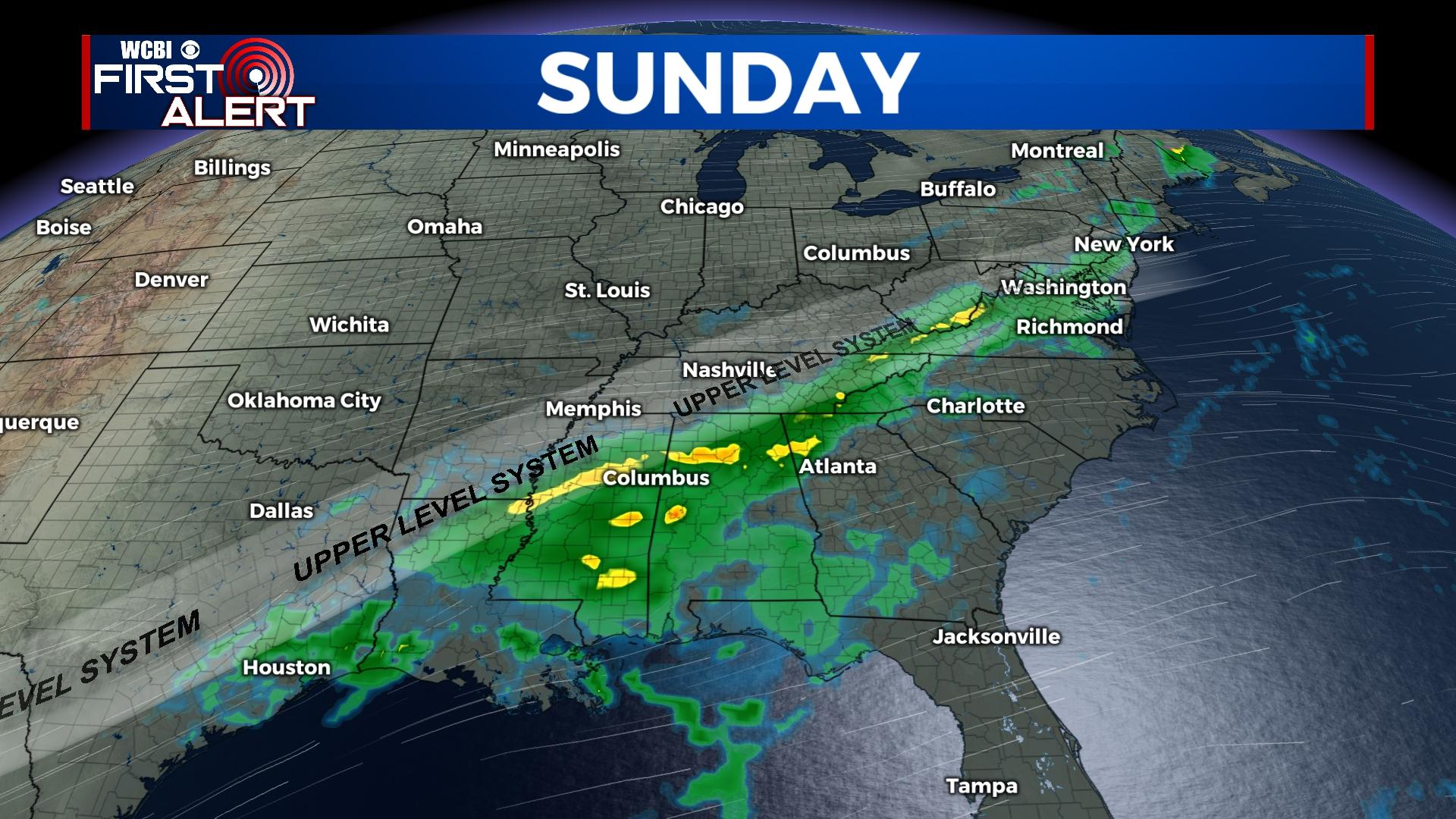
WEEKEND: Saturday starts chilly with a mostly clear sky and temperatures near/just below freezing. Clouds will gradually increase through the day, and spotty showers are possible by afternoon & evening…mainly NW of the Natchez Trace. Rain should become more widespread Sunday with locally heavy showers and a few rumbles likely. An additional one half to one inch of rain is also likely.
NEXT WEEK: Forecast uncertainty remains relatively high, but the overall idea remains roughly the same – a stalled front w/repeated rounds of rain as cold air builds to the north and warm air lingers south. At some point, parts of the Mid-South could deal with wintry weather…and this is more likely closer to I-40 in TN/AR and not northern MS. For us, temperatures stay generally in the upper 40s to middle 50s for highs and overnight lows will range from the upper 30s to lower & middle 40s.


