Sunny Friday, Soggy & Stormy Saturday
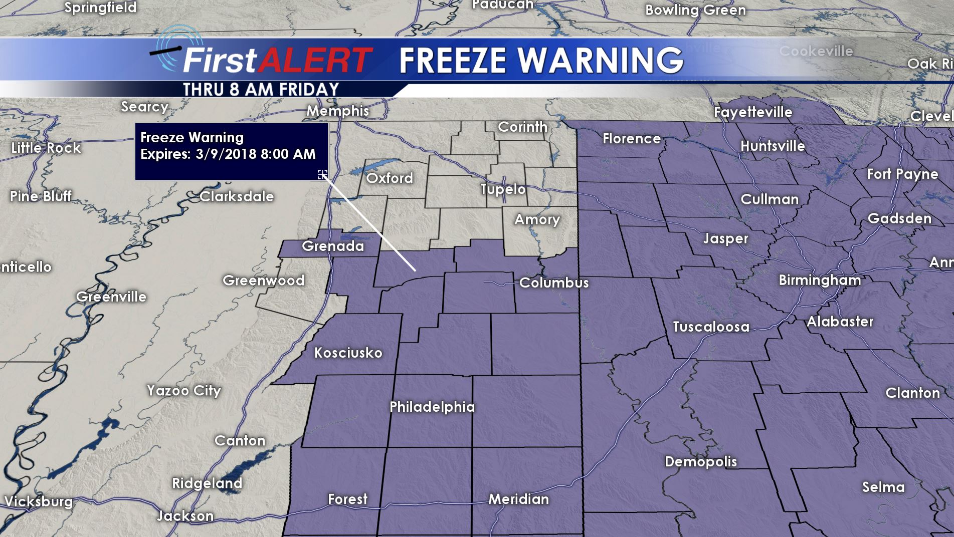
Freeze Warning Tonight
THURSDAY NIGHT: Clear and cold conditions continue. Lows should be in the low 30s and upper 20s. Another widespread frost or freeze is likely.
FRIDAY: Look for more sun and warmer highs in the mid 60s. Southerly winds between 10 and 20 mph will develop.
FRIDAY NIGHT: Clouds fill back in during the night but little if no rain will fall. Lows are going to be in the mid to upper 40s.
SATURDAY: There is an 80% chance of rain and storms during the day. Some locally heavy rain is possible. In addition, some strong to severe storms are possible during the evening and overnight hours. Hail and gusty winds look to be the main severe threats at this time but we’ll keep watching the system as it evolves. Look for highs in the 60s during the day.
SUNDAY: A mostly cloudy day is likely. The chance of showers is 30%. Highs in the 50s to lower 60s are expected to continue.
NEXT WEEK: We’ll get back into a quiet pattern feature lots of sun, cool days, and cold nights. A few more nights with freezing temperatures are possible.
Follow @WCBIWEATHER on Facebook, Twitter, Instagram, and Snapchat


Leave a Reply