Trending Warmer, Friday Night Storms
Friday Night Storms
TUESDAY NIGHT: Clear and cold with lows in the mid 20s. Winds will go calm.
WEDNESDAY: Lots of sunshine around the region with slightly warmer temperatures in the low 50s in many spots. Southeasterly winds between 5 and 10 mph develop during the day.
WEDNESDAY NIGHT: Look for a few more clouds and warmer lows in the upper 30s.
THURSDAY: Mostly cloudy skies return as moisture creeps back in from the south. Highs should push back into the lower 60s. A few spotty showers are possible during the day but we’re going to keep the chance of rain at 20-30%. Much milder lows in the upper 50s are expected Thursday night.
FRIDAY: Passing showers are possible at any time during the day but the most widespread showers and storms will wait until the evening hours. Southerly winds may push highs up to around 70°.
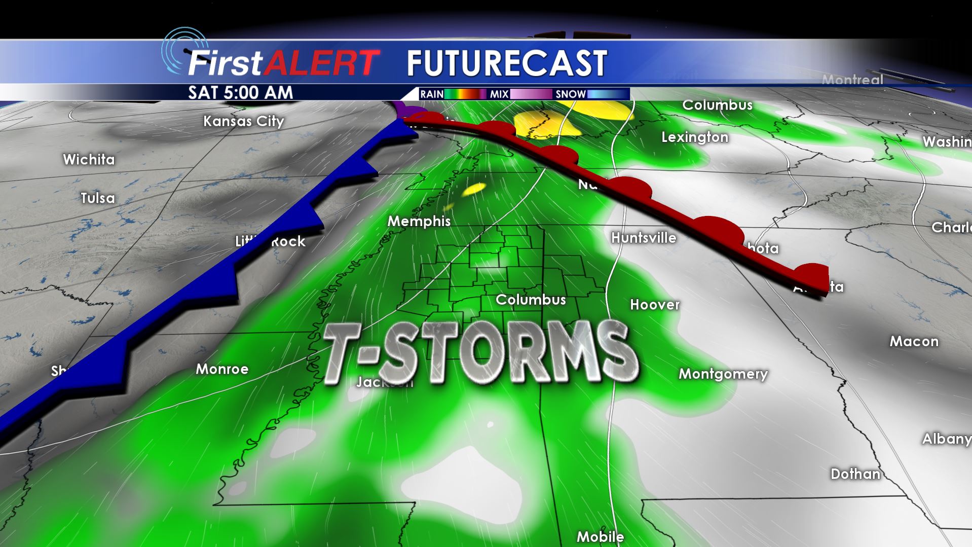
FRIDAY NIGHT/SATURDAY MORNING: A wave of showers and storms is still expected to push across northeast Mississippi and west Alabama. Locally heavy rain is possible in addition to some strong to severe storms. Lows only drop to around 60.
SATURDAY AFTERNOON: Storms are currently expected to push to our east by midday. If that occurs then our afternoon will feature more sunshine and highs in the 70s.
SUNDAY: A quiet day remains on track with highs in the upper 60s to around 70.
Follow @WCBIWEATHER on Facebook, Twitter, Instagram, and Snapchat


Leave a Reply