Unseasonable warm days ahead, severe threat Friday evening
COLUMBUS, Mississippi (WCBI) – Temperatures will be in the 80s the next few days. Severe storms are possible Friday evening.
THURSDAY: Mostly sunny and much warmer with highs in the middle 80s as a south to southwest breeze develops.
THURSDAY NIGHT: Low clouds will fill in after midnight as moisture continues surging northward. Patchy fog is possible as well.
FRIDAY: Most of the forecast remains relatively unchanged. A large part of the daytime will be fairly uneventful as storms mature to the west. Expect a mix of sun and clouds with highs back in the 80s before storms arrive. Severe storms are expected to develop west of the MS River by 3-5p and accelerate toward western & central MS between 5-7p. From there, severe storms will remain possible across the entire viewing area for the remainder of the night, ending by 2 AM. Because these storms could be supercell storms, tornado potential will be elevated. Hail and damaging winds are also possible.
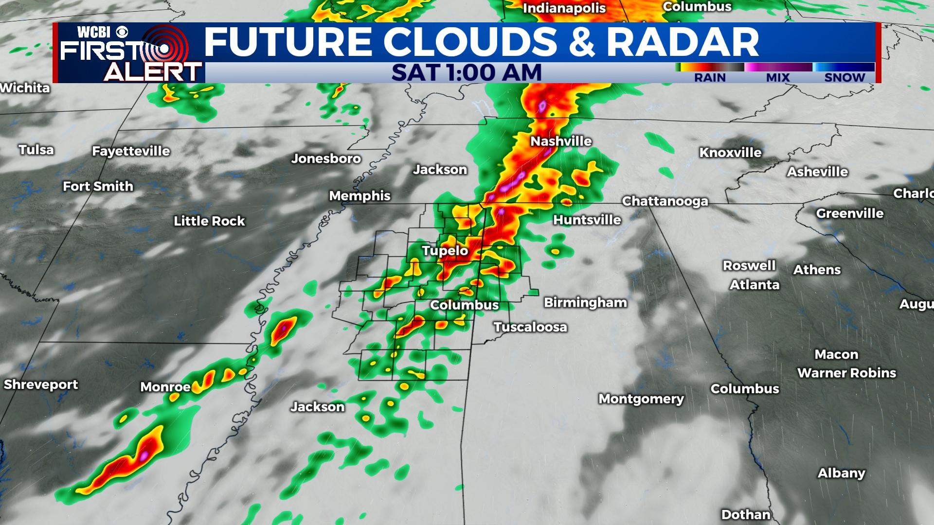
WEEKEND: Saturday is still shaping up to be quite nice with plenty of sunshine and highs nearing 80 degrees by afternoon. Sunday will start dry, but showers and storms are once again possible Sunday evening as moisture returns over a warm front to the south. These storms could produce gusty winds or hail.
NEXT WEEK: The aforementioned front is likely to remain stationary near or just south of the area through Monday and early Tuesday. This means at least isolated showers or storms will be possible Monday before clearing out Tuesday. Temperatures will back down as well, reaching the middle 60s by Wednesday as sunshine returns.


