Unseasonably warm next few days, cooler end of week
COLUMBUS, Mississippi (WCBI) – SUMMARY: Temperatures will get close to record territory through Wednesday, but cooler air settles back in to end the week.
TUESDAY: Expect scattered clouds in the morning with mostly sunny sky conditions in the afternoon. Daytime highs will reach the upper 70s across the region, stopping just short of 80 degrees.
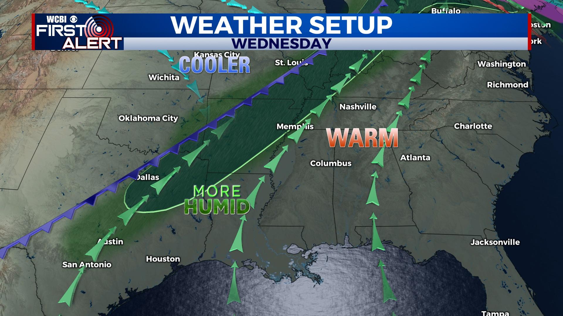
WEDNESDAY: More sunshine and unseasonably warm conditions are on tap as highs stay in the upper 70s.
THURSDAY: A strong yet shallow cold front will sweep through the region during the morning hours. Expect a few showers along the front, but a sharp drop in temperatures is expected just behind the front. Temperatures in the morning will start in the lower 60s but actually fall into the upper 40s through mid-morning. Sunshine should return in the afternoon, helping to boost temperatures back into the upper 50s for afternoon “highs.”
FRIDAY: The chill will be back in the air as morning temperatures will be in the 30s with patchy frost. Highs will be in the upper 50s in the afternoon.
WEEKEND: A gradual warm-up is expected with highs in the 60s Saturday and near 70 degrees Sunday. Clouds look to increase Sunday afternoon ahead of the next front. Showers return to the forecast by Monday.


