Unseasonably warm Wednesday, showers early Thursday
COLUMBUS, Mississippi (WCBI) – SUMMARY: One more day of unseasonable warmth for Wednesday before cooler changes arrive Thursday.
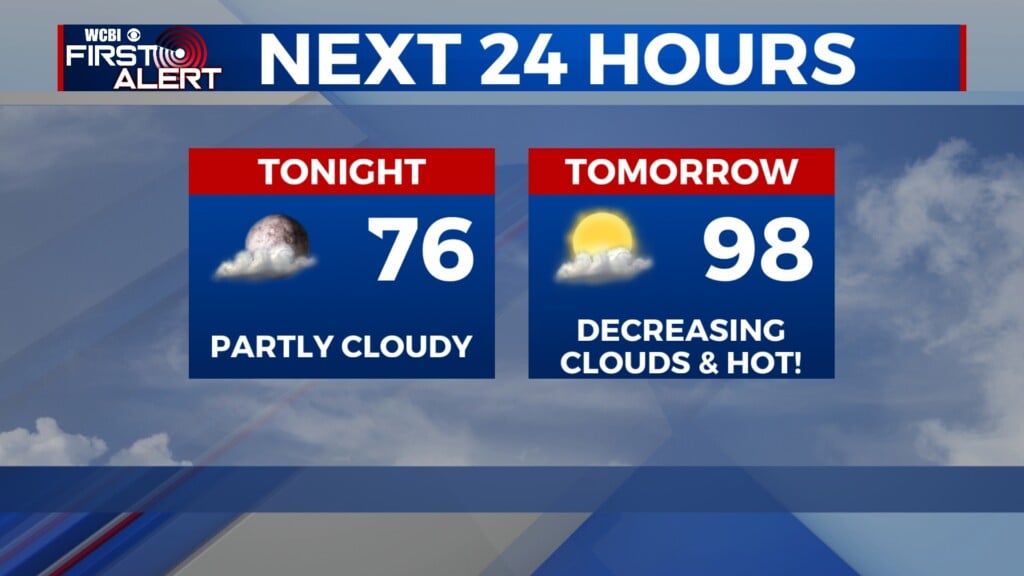
WEDNESDAY: Expect a mix of sun and clouds for the rest of the afternoon. Like yesterday, highs will reach well into the 70s, nearing 80 degrees in a few spots with a south breeze.
WEDNESDAY NIGHT: Clouds continue to increase, but rain holds off until well after midnight. Overnight lows will drop into the low 60s or upper 50s.
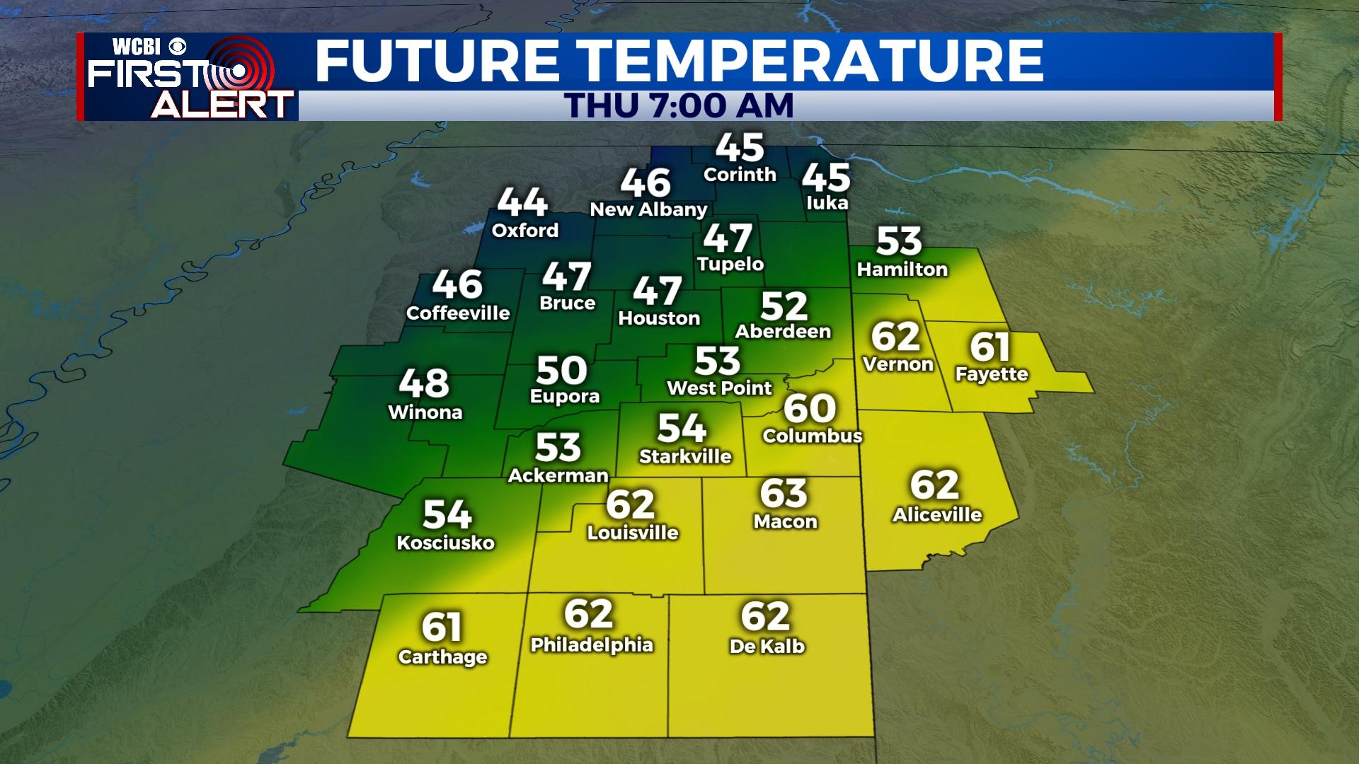
THURSDAY: A strong but shallow cold front will sweep through the region before lunch, bringing scattered showers along or just behind it. The anafrontal nature of the precipitation suggests intensity will be muted, but some brief downpours are possible. The main story will be the falling temperatures – from the low 60s to upper 40s in the span of just a few hours. After lunch, gradual clearing is expected with temperatures rebounding back into the 50s briefly before colder air sets in Thursday night.
FRIDAY: Temperatures will start off in the mid 30s with patchy frost in the morning, but sunshine will warm the afternoon into the upper 50s to near 60 degrees.
WEEKEND: The warming trend should continue as highs approach the upper 60s Saturday with sunshine and low to mid 70s on Sunday under a partly cloudy sky. Another front will bring another chance of evening or overnight showers.
NEXT WEEK: Thanksgiving Week may bring the coldest air so far this season behind Sunday night’s front. Highs by Tuesday may struggle to get out of the 40s with morning temperatures in the upper 20s!!