Upcoming weekend looking good
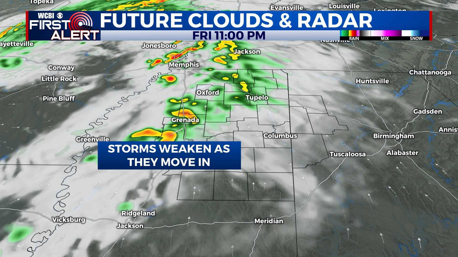
SUMMARY: Another batch of showers showers and storms may affect our area Friday evening/night but they are expected to weaken as they move in. Aside from the chance of a few morning showers Saturday the weekend is looking great for a change. A cold front next Tuesday night looks to bring our next batch of heavy rain and storm chances.
THURSDAY NIGHT: Partly cloudy and quiet. Lows in the low 50s. Winds WNW 3-10 mph.
FRIDAY: Mostly sunny to partly cloudy. Afternoon highs in the upper 70s to around 80. Winds variable 5-10 mph.
FRIDAY NIGHT: A chance of showers and storms. While a few strong storms may occur in eastern Arkansas and NW Mississippi, we expect whatever develops to our west to be in a weakening phase as it approaches our area. Lows in the upper 50s.
SATURDAY: A small chance of early day showers with developing sunshine and breezes as the day wears on. Highs in the mid 70s. WNW winds 10-20 mph.
SATURDAY NIGHT: Mainly clear and cooler. Lows in the upper 40s.
SUNDAY: Picture perfect. Mostly sunny with highs in the low 70s.
SUNDAY NIGHT: Clear and cool. Lows in the mid 40s.
MONDAY: Partly cloudy. Highs in the mid 70s.
TUESDAY: Partly cloudy with evening storms possible. Highs in the upper 70s.
WEDNESDAY: Areas of morning rain and storms. Afternoon clearing. Highs in the upper 70s.
Follow @WCBIWEATHER on Facebook, Twitter, Instagram, and the WCBI News App


Leave a Reply