Very warm pattern with lots of rain chances
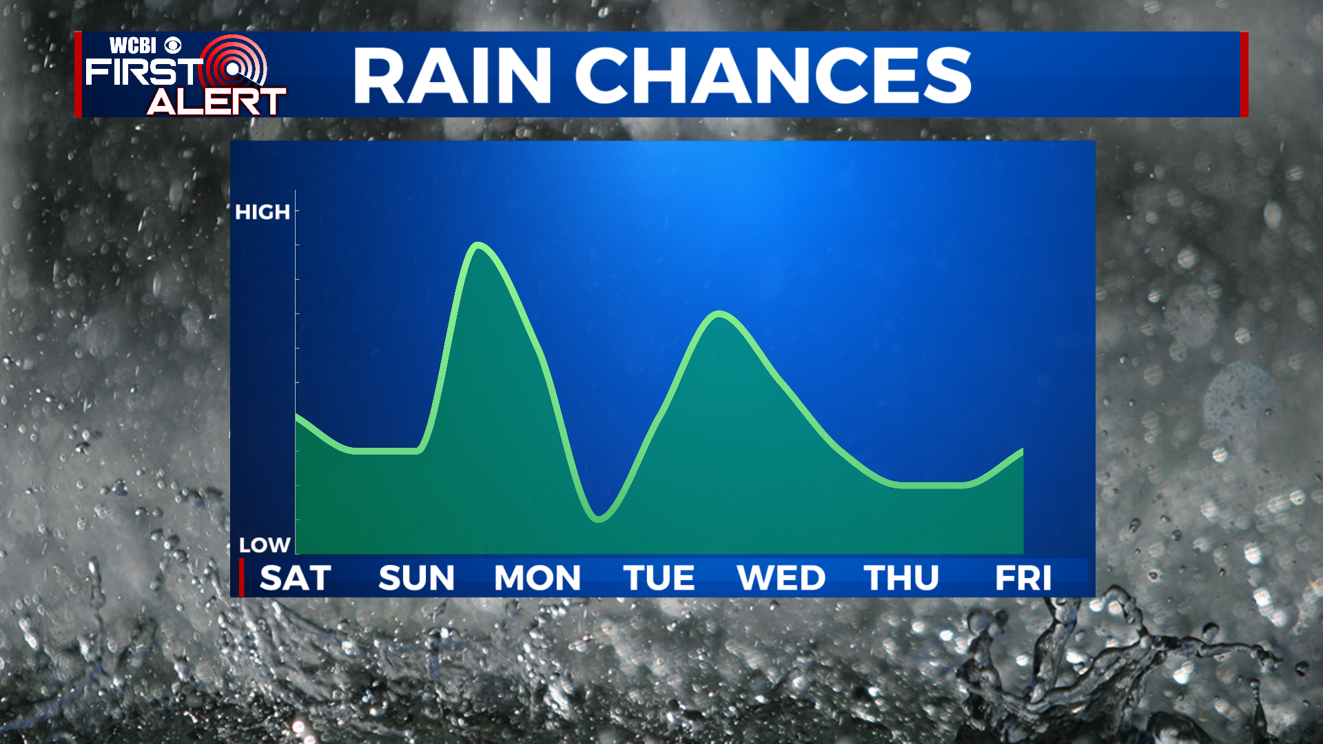
SUMMARY: Our forecast over the next week is looking more like October than December! However, we will finally be getting a good, soaking rain for the first time in a while- we need it! Friday will be dry with increasing clouds, with showers for the weekend and very warm temps. A cold front moves in on Monday, dropping temperatures back to where they should be this time of year. The pattern will stay unsettled with rain chances each day next week and temperatures gradually warming back into the 60s.
FRIDAY: A warm day in store, though with increasing clouds should be a bit cooler than Thursday. Highs will be in the low to mid 70s.
FRIDAY NIGHT: Very mild for December- lows will only get to the low to mid 50s. Skies will stay cloudy, but we should stay dry.
SATURDAY: A few scattered showers are likely on Saturday, with patchy drizzle possible as well. Another very warm day with highs in the low 70s.
SATURDAY NIGHT: A few lingering showers and patches of drizzle are possible, with cloudy skies and a mild low of 55.

SUNDAY TO THURSDAY: Sunday looks quite warm once again, with temps reaching the 70s. Some afternoon showers will be likely as a cold front approaches the area. This will push a line of showers and storms though the area late Sunday night into Monday morning. No severe weather expected with this. Temps will then tumble into the 50s for the rest of Monday, with a low Monday night in the low to mid 30s. Moisture remains in the picture, with scattered showers possible on Tuesday with cooler highs in the 50s. Some heavier rain and storms are possible Tuesday night. There is a lot of forecast uncertainty late in the week, but the general trend is warming temperatures into the 60s to near 70 by next Thursday. Scattered showers will continue on Wednesday before we begin to dry out Thursday.
CONNECT WITH @WCBIWEATHER ON TWITTER, FACEBOOK AND INSTAGRAM