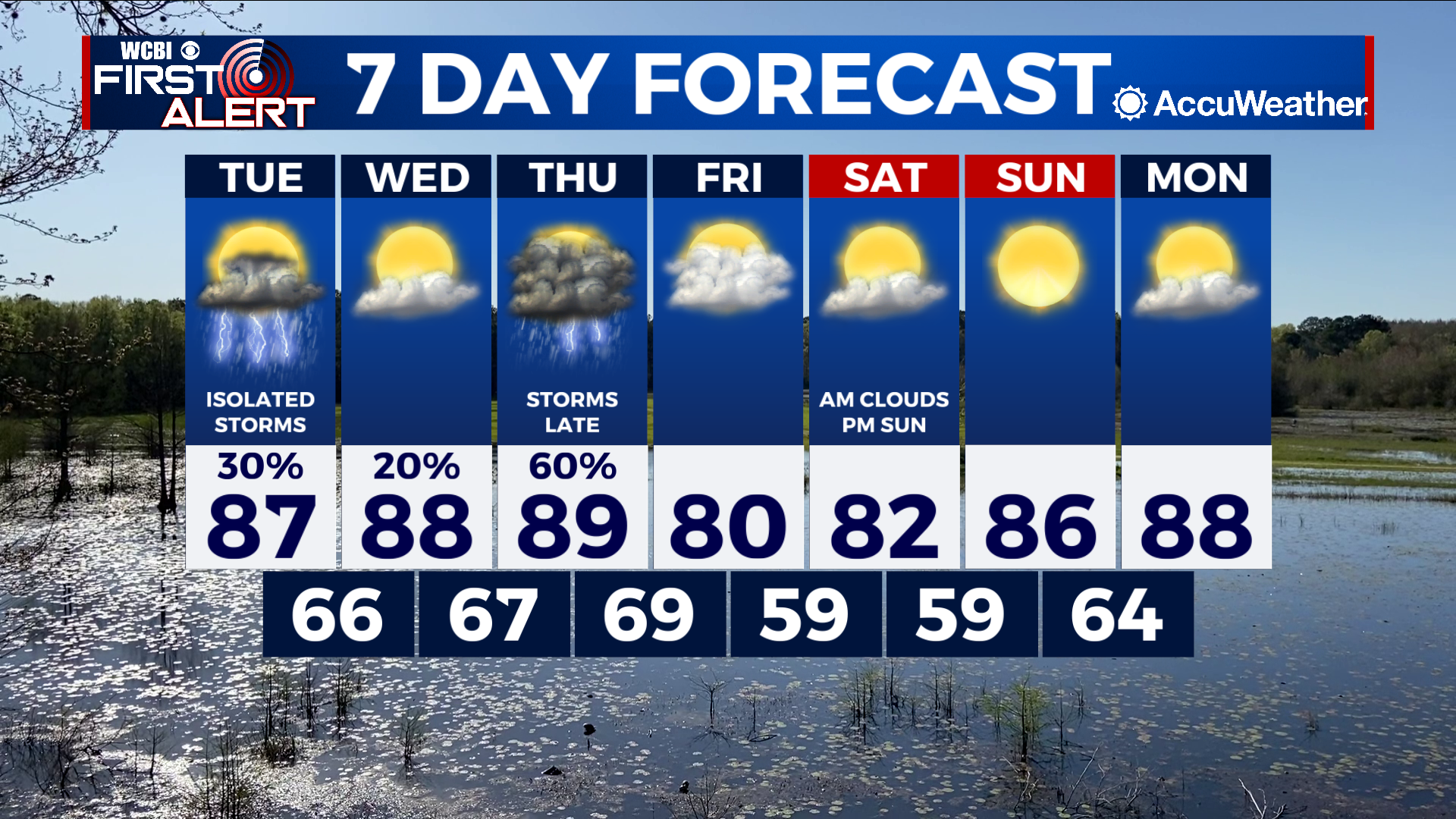
Warm and muggy conditions the next few days then storms likely Thursday
COLUMBUS, Mississippi (WCBI) – SUMMARY: An active weather pattern will continue through the end of the week, then a dry pattern arrives this weekend.
TONIGHT: Partly cloudy with lows in the mid-60s. South wind around 5 mph.
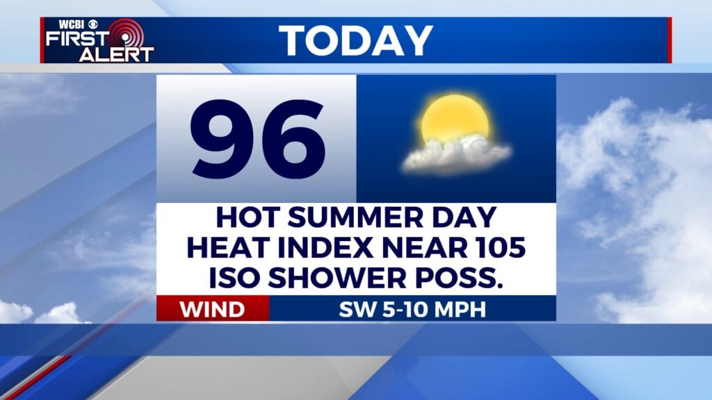
TUESDAY: Isolated afternoon showers and thunderstorms, mainly north. Highs in the upper 80s. South wind 5-10 mph with gusts up to 20 mph.
TUESDAY NIGHT: Partly cloudy with lows in the mid-60s. Calm wind.
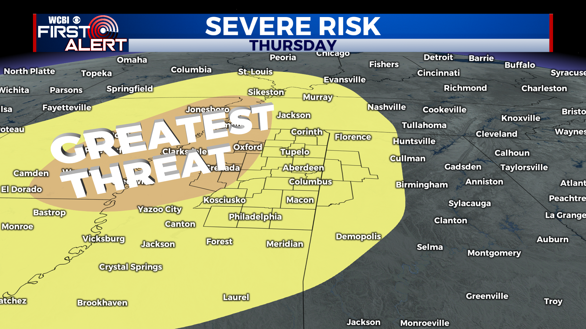
EXTENDED FORECAST: Severe thunderstorms will be possible Thursday evening and through the overnight as a cold front moves through the region. Once the front passes to our east Friday morning, rain chances will come to an end for the weekend. Friday and Saturday’s highs will remain in the low-80s.