Warm and stormy Saturday
COLUMBUS, Mississippi (WCBI) – Starting to see the moisture moving in from the South. Heavy cloud coverage and rain will be the story for at least the next 40 ish hours. Once this system moves off to the East, conditions become much calmer.
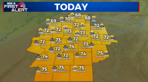
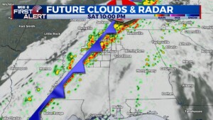
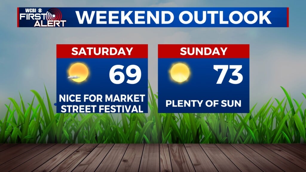
SATURDAY: Heavy clouds continue with increasingly and temporarily warm temperatures, as high temps reach into the lower 70s. A few scattered showers and weaker storms are possible during the day, though the severe weather threat comes later in the day. From 4pm until midnight, the main line of strong to severe storms will move across northern Mississippi bringing hail, wind, and tornado potential. Most of the tornado threat appears to stay north of US 82 to the TN state line. Temperatures overnight will drop into the middle 40s.
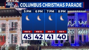
SUNDAY: A few left over showers may be possible Sunday morning. The rest of the system will be clearing out, allowing for much drier conditions to return. High temperatures are only going to be reaching into the lower 50s, thanks to the cold air that moves in behind the frontal system Saturday. The Columbus parade will be at 6PM! Make sure to bundle up for that and come see the Clydesdales! Temperatures overnight will drop into the lower 30s.
