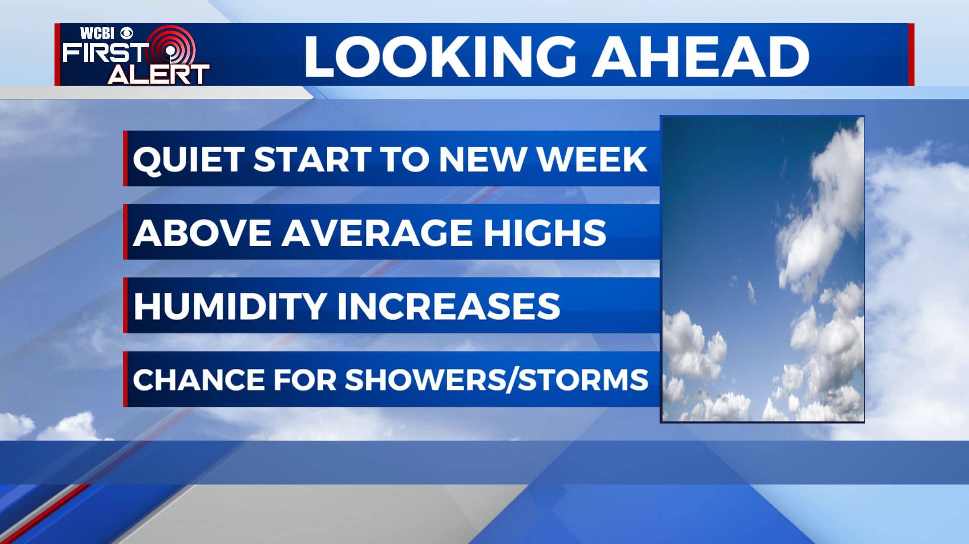
Warm & getting humid as we begin a new workweek
SUMMARY: Temperatures this week will continue to rise into the upper 80s and lower 90s. Staying dry with a mix of sun & clouds for the first half of the workweek will make way for the return of afternoon summertime shower or thunderstorms mid to late week. Southerly winds will allow the humidity to increase also across the area midweek into the weekend.
MONDAY: Some patchy fog may develop this morning, but once the sun rises it will dissipate immediately. A mix of sun & clouds expected for the afternoon with temperatures in the upper 80s to lower 90s. Southerly winds at 5-10 mph.
MONDAY NIGHT: Partly cloudy skies. Overnight lows in the mid 60s. Calm winds.
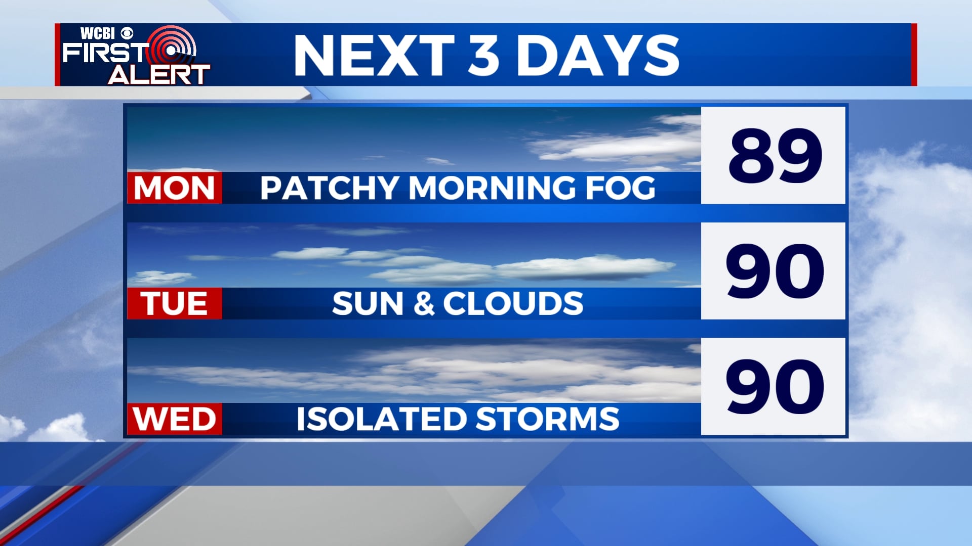
TUESDAY: Another warm day in the lower 90s with a mix of sun and clouds. Breezy at times with winds out of the SSW around 5-10 MPH. Overnight lows will be in the 60s.
WEDNESDAY: A few more clouds will start building back in. Could see a stray shower or two with the daytime heating as the humidity and moisture levels start going up a bit. Highs will remain in the lower 90s with overnight lows in the mid to upper 60s.
THURSDAY: We’ll see a mic of sun & clouds with a spotty shower in the afternoon. Highs in the low 90s and overnight lows in the 60s.
FRIDAY-SUNDAY: On-and-off chances those summertime afternoon showers & storms can be expected for most of the long Memorial Day holiday weekend. Temperatures look to cool off a bit into Saturday with persistent cloud cover over the area. Highs linger in the mid-to upper 80s.
Stay connected with @WCBIWEATHER on Facebook, Twitter, Instagram, and the WCBI News App.


Leave a Reply